
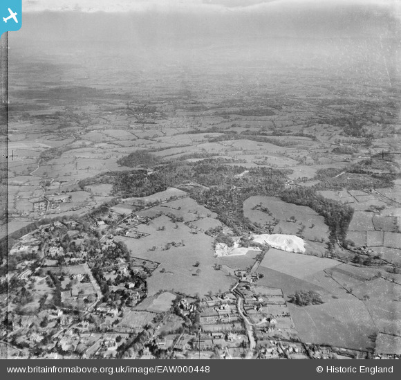
EAW000448 ENGLAND (1946). Woodland on either side of the Macclesfield Road and surrounding countryside, Alderley Edge, from the west, 1946
© Copyright OpenStreetMap contributors and licensed by the OpenStreetMap Foundation. 2026. Cartography is licensed as CC BY-SA.
Nearby Images (8)
EAW000448

EAW000316

EAW000317

EAW000319

EAW000320

EAW000315

EAW000446

EAW000318

Details
| Title | [EAW000448] Woodland on either side of the Macclesfield Road and surrounding countryside, Alderley Edge, from the west, 1946 |
| Reference | EAW000448 |
| Date | 18-April-1946 |
| Link | |
| Place name | ALDERLEY EDGE |
| Parish | NETHER ALDERLEY |
| District | |
| Country | ENGLAND |
| Easting / Northing | 385416, 377644 |
| Longitude / Latitude | -2.2188306242824, 53.295279332263 |
| National Grid Reference | SJ854776 |
Pins

JohnTomlinson18 |
Sunday 10th of November 2013 02:22:05 PM |