
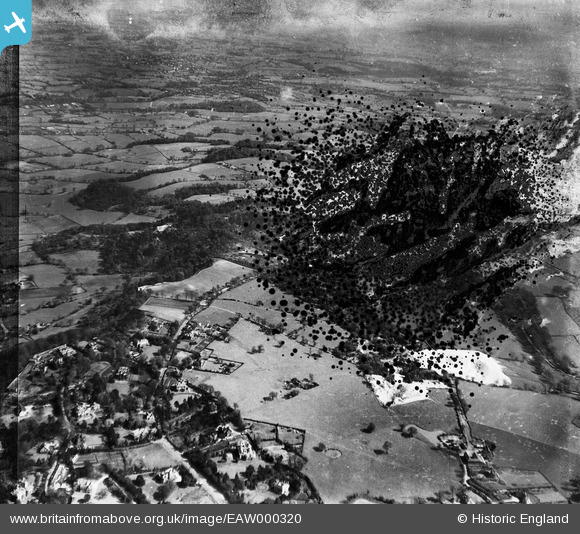
EAW000320 ENGLAND (1946). Woodland on either side of the Macclesfield Road and surrounding countryside, Alderley Edge, from the west, 1946. This image has been produced from a damaged negative.
© Copyright OpenStreetMap contributors and licensed by the OpenStreetMap Foundation. 2026. Cartography is licensed as CC BY-SA.
Nearby Images (8)
EAW000320

EAW000317

EAW000315

EAW000319

EAW000316

EAW000448

EAW000446

EAW000318

Details
| Title | [EAW000320] Woodland on either side of the Macclesfield Road and surrounding countryside, Alderley Edge, from the west, 1946. This image has been produced from a damaged negative. |
| Reference | EAW000320 |
| Date | 19-April-1946 |
| Link | |
| Place name | ALDERLEY EDGE |
| Parish | NETHER ALDERLEY |
| District | |
| Country | ENGLAND |
| Easting / Northing | 385453, 377733 |
| Longitude / Latitude | -2.2182795283881, 53.296080433192 |
| National Grid Reference | SJ855777 |
Pins
Be the first to add a comment to this image!