
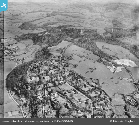
EAW000446 ENGLAND (1946). Housing and woodland along the Macclesfield Road, Alderley Edge, 1946
© Copyright OpenStreetMap contributors and licensed by the OpenStreetMap Foundation. 2026. Cartography is licensed as CC BY-SA.
Nearby Images (7)
EAW000446

EAW000315

EAW000320

EAW000317

EAW000448

EAW000316

EAW000319

Details
| Title | [EAW000446] Housing and woodland along the Macclesfield Road, Alderley Edge, 1946 |
| Reference | EAW000446 |
| Date | 18-April-1946 |
| Link | |
| Place name | ALDERLEY EDGE |
| Parish | ALDERLEY EDGE |
| District | |
| Country | ENGLAND |
| Easting / Northing | 385360, 377861 |
| Longitude / Latitude | -2.2196808977238, 53.297228553348 |
| National Grid Reference | SJ854779 |
Pins

ap493 |
Tuesday 13th of May 2025 04:22:24 PM | |
|
ap493 |
Tuesday 19th of November 2024 12:47:03 PM | |
|
ap493 |
Tuesday 19th of November 2024 12:46:50 PM | |
|
jonnyhud |
Tuesday 12th of November 2013 12:00:53 PM | |
|
JohnTomlinson18 |
Sunday 10th of November 2013 02:26:43 PM | |
|
JohnTomlinson18 |
Sunday 10th of November 2013 02:26:00 PM |