
Search > Grid
Showing 24541 to 24600 of 96344 as page
410 of 1606

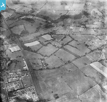
EPW038496
[1932]
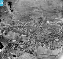
EPW038497
[1932]

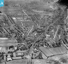
EPW038508
[1932]
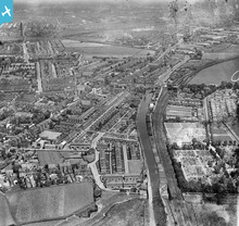
EPW038506
[1932]

EPW038507
[1932]
EPW038505
[1932]

EPW038504
[1932]
EPW038514
[1932]

EPW038513
[1932]
EPW038511
[1932]

EPW038512
[1932]

EPW038510
[1932]

EPW038509
[1932]

EPW038523
[1932]
EPW038520
[1932]

EPW038521
[1932]
EPW038518
[1932]

EPW038522
[1932]
EPW038519
[1932]
EPW038517
[1932]
EPW038515
[1932]
EPW038516
[1932]
EPW038531
[1932]
EPW038530
[1932]
EPW038528
[1932]
EPW038527
[1932]
EPW038526
[1932]

EPW038525
[1932]
EPW038524
[1932]

EPW038523A
[1932]

EPW038539
[1932]
EPW038538
[1932]

EPW038537
[1932]
EPW038536
[1932]

EPW038535
[1932]
EPW038534
[1932]
EPW038532
[1932]

EPW038533
[1932]
EPW038543
[1932]

EPW038542
[1932]

EPW038540
[1932]
EPW038541
[1932]
EPW038544
[1932]
EPW038553
[1932]
EPW038550
[1932]
EPW038551
[1932]
EPW038552
[1932]
EPW038549
[1932]

EPW038548
[1932]
EPW038547
[1932]

EPW038545
[1932]

EPW038546
[1932]
EPW038561
[1932]

EPW038560
[1932]
EPW038557
[1932]

EPW038558
[1932]
EPW038559
[1932]
EPW038555
[1932]
EPW038556
[1932]
EPW038554
[1932]