
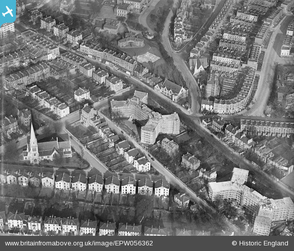
EPW056362 ENGLAND (1938). Eton Rise and Eton Place Flat Blocks and environs, Camden Town, 1938
© Copyright OpenStreetMap contributors and licensed by the OpenStreetMap Foundation. 2024. Cartography is licensed as CC BY-SA.
Nearby Images (30)
EPW056362

EPW056360

EPW056361

EPW056364

EPW058593

EPW060335

EPW058478

EPW060303
, Maitland Park, 1938")
EPW060304
, Maitland Park, 1938")
EPW058475

EPW060302
, Maitland Park, 1938")
EPW058473

EPW058476

EPW060334

EPW058474

EPW060332

EPW060333

EPW058477

EPW060331

EPW060305
, Maitland Park, 1938")
EPW060306
, Maitland Park, 1938")
EPW058594

EPW058591

EPW058592

EPW056358

EPW056365

EPW056363

EPW060330

EPW058590

EPW056359

Details
| Title | [EPW056362] Eton Rise and Eton Place Flat Blocks and environs, Camden Town, 1938 |
| Reference | EPW056362 |
| Date | 9-March-1938 |
| Link | |
| Place name | CAMDEN TOWN |
| Parish | |
| District | |
| Country | ENGLAND |
| Easting / Northing | 527931, 184562 |
| Longitude / Latitude | -0.15488751712663, 51.544954623296 |
| National Grid Reference | TQ279846 |


