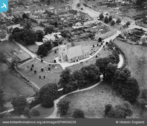
EPW036226 ENGLAND (1931). St Mary's Church, Thatcham, 1931
© Copyright OpenStreetMap contributors and licensed by the OpenStreetMap Foundation. 2024. Cartography is licensed as CC BY-SA.
Nearby Images (12)
EPW036226

EPW023277

EPW036223

EPW036222

EAW041726

EAW041725

EAW041723

EAW041724

EPW036220

EPW023280

EPW023278

EPW023279

Details
| Title | [EPW036226] St Mary's Church, Thatcham, 1931 |
| Reference | EPW036226 |
| Date | August-1931 |
| Link | |
| Place name | THATCHAM |
| Parish | THATCHAM |
| District | |
| Country | ENGLAND |
| Easting / Northing | 451640, 167219 |
| Longitude / Latitude | -1.2575732734873, 51.401153555704 |
| National Grid Reference | SU516672 |
Pins
 Julierosalie |
Sunday 11th of May 2014 09:43:03 PM |