
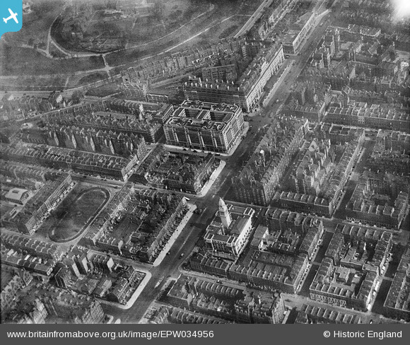
EPW034956 ENGLAND (1931). Berkeley Court, Westminster Council House and environs, Marylebone, 1931
© Copyright OpenStreetMap contributors and licensed by the OpenStreetMap Foundation. 2024. Cartography is licensed as CC BY-SA.
Nearby Images (21)
EPW034956

EPW034957

EPW034953

EPW034991

EPW034991
EPW034996

EPW034996
EPW034995

EPW034995
EPW034993

EPW034993
EPW034994

EPW034994
EPW034958

EPW034954

EPW034992

EPW034992
EPW034990

EPW034990
EPW034955

EPW044586

Details
| Title | [EPW034956] Berkeley Court, Westminster Council House and environs, Marylebone, 1931 |
| Reference | EPW034956 |
| Date | April-1931 |
| Link | |
| Place name | MARYLEBONE |
| Parish | |
| District | |
| Country | ENGLAND |
| Easting / Northing | 527817, 181964 |
| Longitude / Latitude | -0.15747404945387, 51.521630156484 |
| National Grid Reference | TQ278820 |
Pins
 b0ned0me |
Tuesday 5th of March 2013 09:31:36 PM |
User Comment Contributions
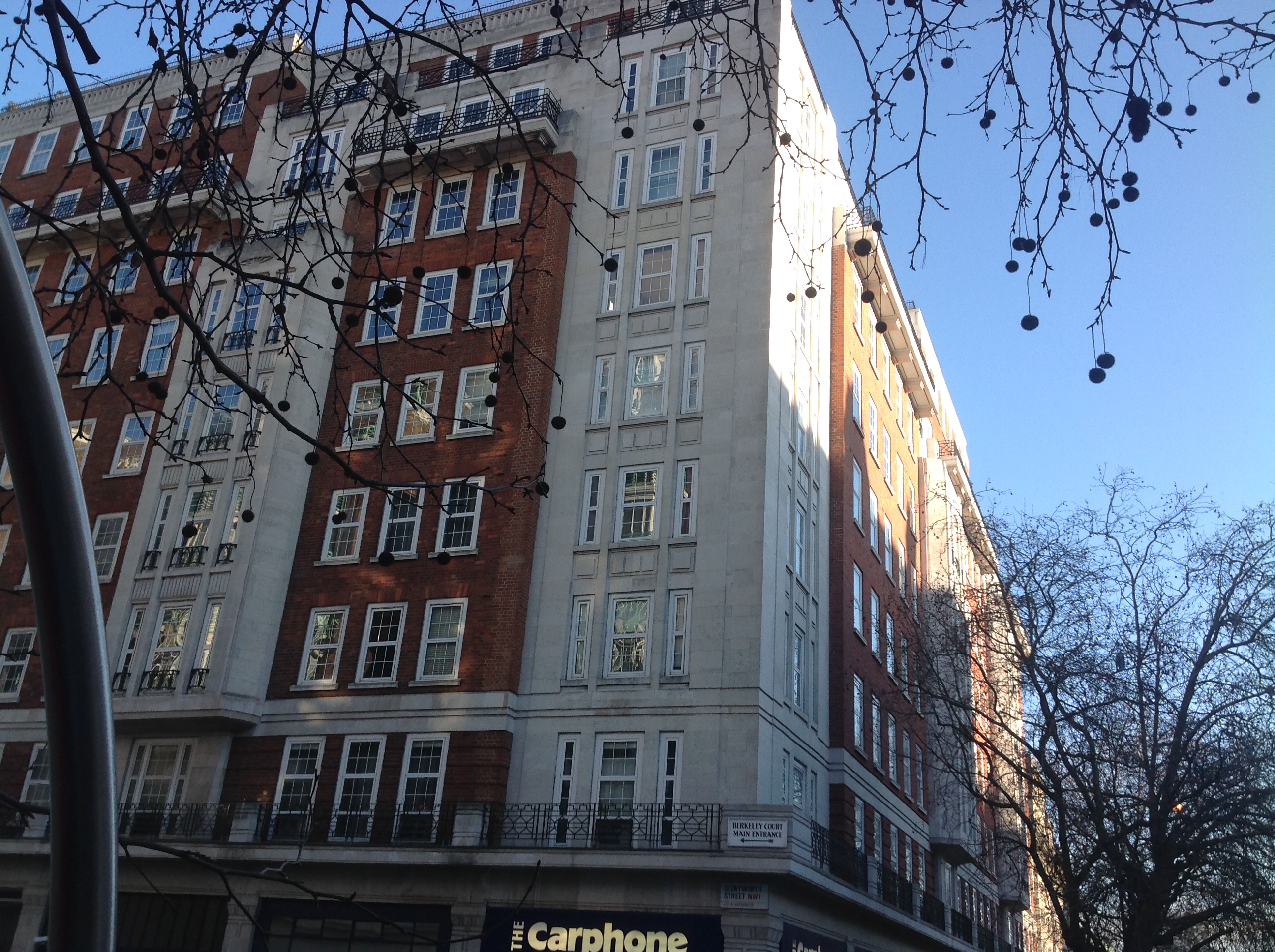 Berkeley Court, 19/01/2015 |
 Class31 |
Monday 19th of January 2015 10:47:48 PM |