
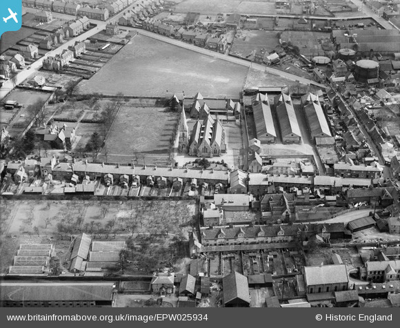
EPW025934 ENGLAND (1929). Christ Church and environs, Ware, 1929
© Copyright OpenStreetMap contributors and licensed by the OpenStreetMap Foundation. 2024. Cartography is licensed as CC BY-SA.
Nearby Images (6)
EPW025934

EPW025932

EAW022365

EPW013338

EPW013341

EPW025928

Details
| Title | [EPW025934] Christ Church and environs, Ware, 1929 |
| Reference | EPW025934 |
| Date | 3-April-1929 |
| Link | |
| Place name | WARE |
| Parish | WARE |
| District | |
| Country | ENGLAND |
| Easting / Northing | 535989, 214391 |
| Longitude / Latitude | -0.02712183504868, 51.811141301363 |
| National Grid Reference | TL360144 |
Pins


User Comment Contributions
From the west. |
 Class31 |
Tuesday 27th of May 2014 08:18:20 AM |


