
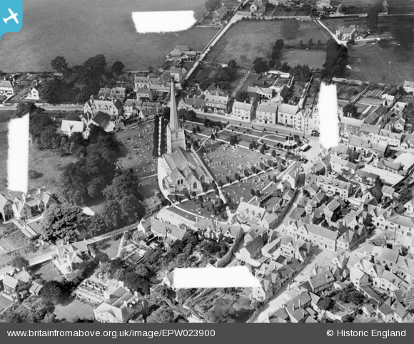
EPW023900 ENGLAND (1928). St Mary's Church and the town, Painswick, 1928. This image was marked by Aerofilms for photo editing.
© Copyright OpenStreetMap contributors and licensed by the OpenStreetMap Foundation. 2024. Cartography is licensed as CC BY-SA.
Nearby Images (10)
EPW023900

EPW023898

EPW023905

EPW029934

EPW023901

EPW029933

EPW023899

EPW029936

EPW029930

EPW029932

Details
| Title | [EPW023900] St Mary's Church and the town, Painswick, 1928. This image was marked by Aerofilms for photo editing. |
| Reference | EPW023900 |
| Date | September-1928 |
| Link | |
| Place name | PAINSWICK |
| Parish | PAINSWICK |
| District | |
| Country | ENGLAND |
| Easting / Northing | 386650, 209654 |
| Longitude / Latitude | -2.193555738969, 51.784936575579 |
| National Grid Reference | SO867097 |
Pins
 Class31 |
Wednesday 17th of October 2012 02:39:50 PM | |
Class31 |
Wednesday 17th of October 2012 02:39:28 PM | |
Class31 |
Wednesday 17th of October 2012 02:38:13 PM | |
Class31 |
Wednesday 17th of October 2012 02:37:24 PM | |
Class31 |
Wednesday 17th of October 2012 02:36:51 PM | |
Class31 |
Wednesday 17th of October 2012 02:36:17 PM | |
Class31 |
Wednesday 17th of October 2012 02:36:01 PM |


