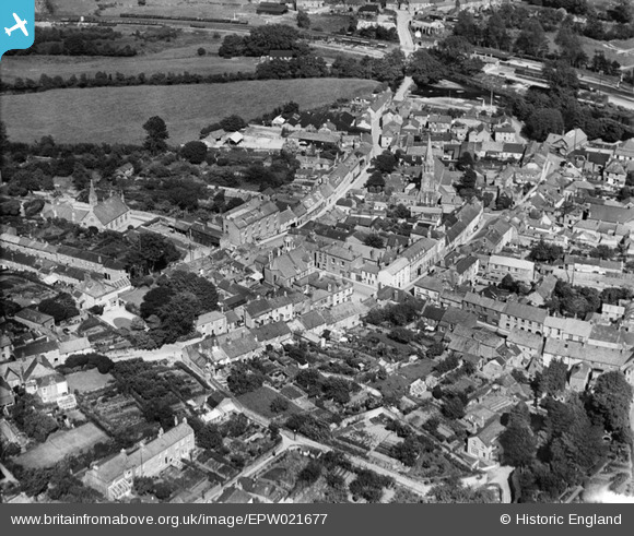
EPW021677 ENGLAND (1928). The town centre, Lostwithiel, 1928
© Copyright OpenStreetMap contributors and licensed by the OpenStreetMap Foundation. 2024. Cartography is licensed as CC BY-SA.
Nearby Images (11)
EPW021677

EPW033039

EPW054819

EPW033038

EPW054820

EPW021676

EPW033041

EPW021678

EPW054821

EPW033042

EPW033040

Details
| Title | [EPW021677] The town centre, Lostwithiel, 1928 |
| Reference | EPW021677 |
| Date | 24-June-1928 |
| Link | |
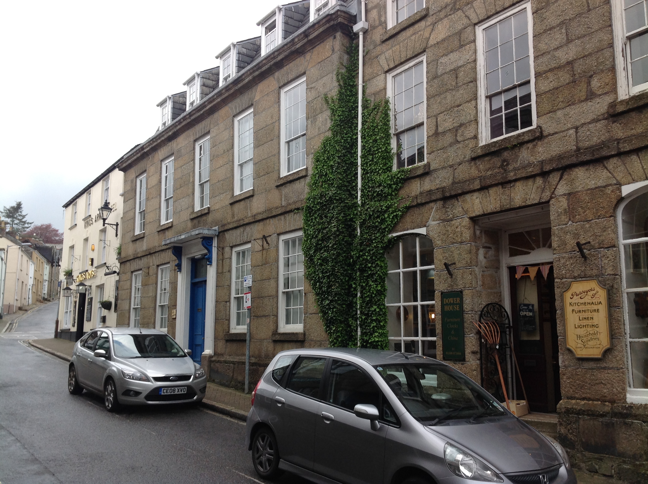
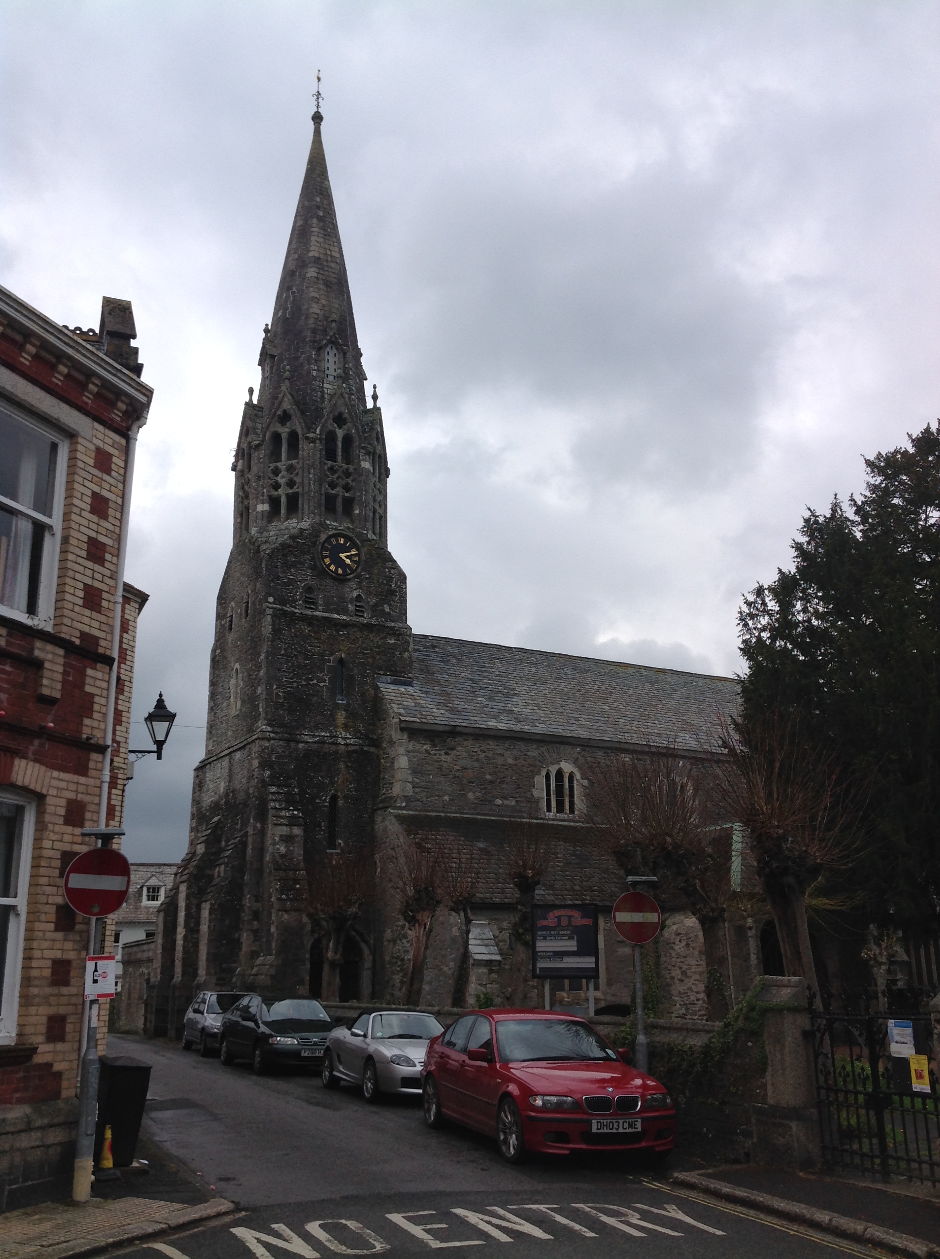
| Place name | LOSTWITHIEL |
| Parish | LOSTWITHIEL |
| District | |
| Country | ENGLAND |
| Easting / Northing | 210355, 59833 |
| Longitude / Latitude | -4.6692345444714, 50.407112787652 |
| National Grid Reference | SX104598 |
Pins
 MB |
Monday 3rd of September 2012 09:02:12 PM | |
 Class31 |
Thursday 26th of July 2012 09:49:57 AM | |
Class31 |
Thursday 26th of July 2012 09:47:55 AM | |
Class31 |
Thursday 26th of July 2012 09:47:08 AM | |
Class31 |
Thursday 26th of July 2012 09:46:23 AM | |
Class31 |
Thursday 26th of July 2012 09:45:49 AM | |
Class31 |
Thursday 26th of July 2012 09:43:07 AM |