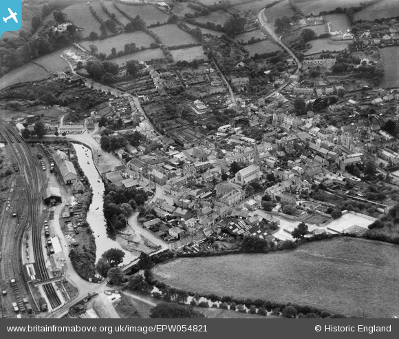
EPW054821 ENGLAND (1937). The town, Lostwithiel, 1937
© Copyright OpenStreetMap contributors and licensed by the OpenStreetMap Foundation. 2024. Cartography is licensed as CC BY-SA.
Nearby Images (11)
EPW054821

EPW033041

EPW021678

EPW021676

EPW054820

EPW033042

EPW033039

EPW054819

EPW021677

EPW033038

EPW033040

Details
| Title | [EPW054821] The town, Lostwithiel, 1937 |
| Reference | EPW054821 |
| Date | August-1937 |
| Link | |
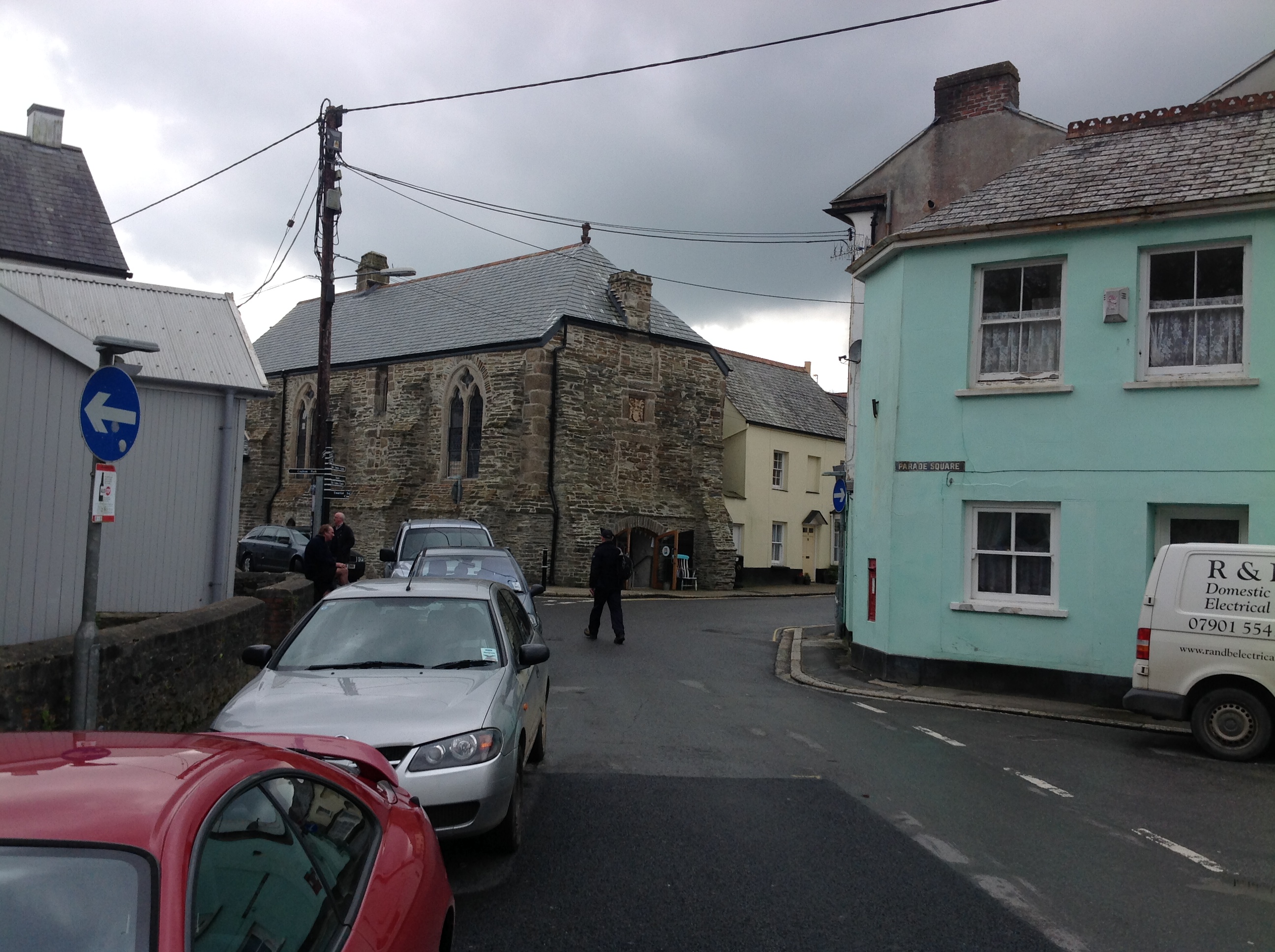
| Place name | LOSTWITHIEL |
| Parish | LOSTWITHIEL |
| District | |
| Country | ENGLAND |
| Easting / Northing | 210424, 59736 |
| Longitude / Latitude | -4.6682155236945, 50.406263564914 |
| National Grid Reference | SX104597 |