
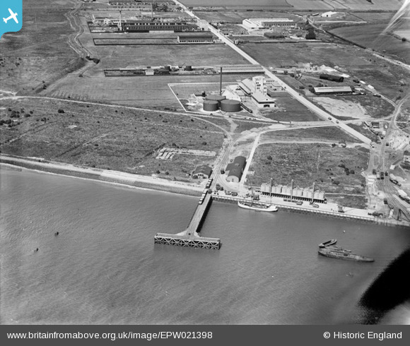
EPW021398 ENGLAND (1928). The Solvent Products Works and works off Chequers Lane, Dagenham, 1928
© Copyright OpenStreetMap contributors and licensed by the OpenStreetMap Foundation. 2024. Cartography is licensed as CC BY-SA.
Nearby Images (48)
EPW021398

EPW021389

EPW046551

EPW059961

EAW031154

EPW009947

EPW059960

EPW059965

EPW059964

EPW046614

EPW046546

EPW059962

EPW059963

EAW046625

EAW046773

EPW059966

EAW046624

EPW021397

EAW046776

EPW059967

EAW046772

EAW031165

EAW031159

EAW031166

EPW021388

EAW031163

EAW046777

EPW021395

EAW046771

EPW021390

EAW046623

EPW009951

EAW046775

EAW046774

EPW021391

EAW031152

EAW031157

EAW046778

EPW046515

EPW046553

EPW021394

EPW046550

EPW021396

EPW046549

EAW031153

EAW031149

EAW031151

EAW031150

Details
| Title | [EPW021398] The Solvent Products Works and works off Chequers Lane, Dagenham, 1928 |
| Reference | EPW021398 |
| Date | 30-May-1928 |
| Link | |
| Place name | DAGENHAM |
| Parish | |
| District | |
| Country | ENGLAND |
| Easting / Northing | 548724, 181916 |
| Longitude / Latitude | 0.14367628692939, 51.516080197217 |
| National Grid Reference | TQ487819 |
Pins
Be the first to add a comment to this image!