
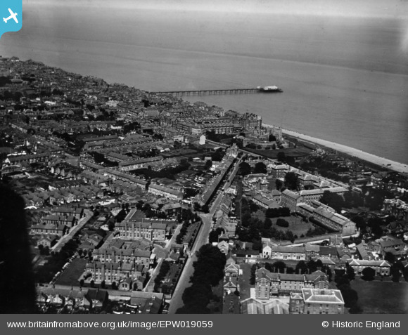
EPW019059 ENGLAND (1927). Gladstone Road, the town and the pier, Deal, 1927. This image has been produced from a print.
© Copyright OpenStreetMap contributors and licensed by the OpenStreetMap Foundation. 2024. Cartography is licensed as CC BY-SA.
Nearby Images (18)
EPW019059

EPW000640

EAW014343

EPW009182

EPW035438

EPW039321

EPW035432

EPW035434

EAW014346

EPW000333

EAW014345

EPW000647

EAW014342

EPW019062

EPW035435

EAW014344

EPW000648

EPW042833

Details
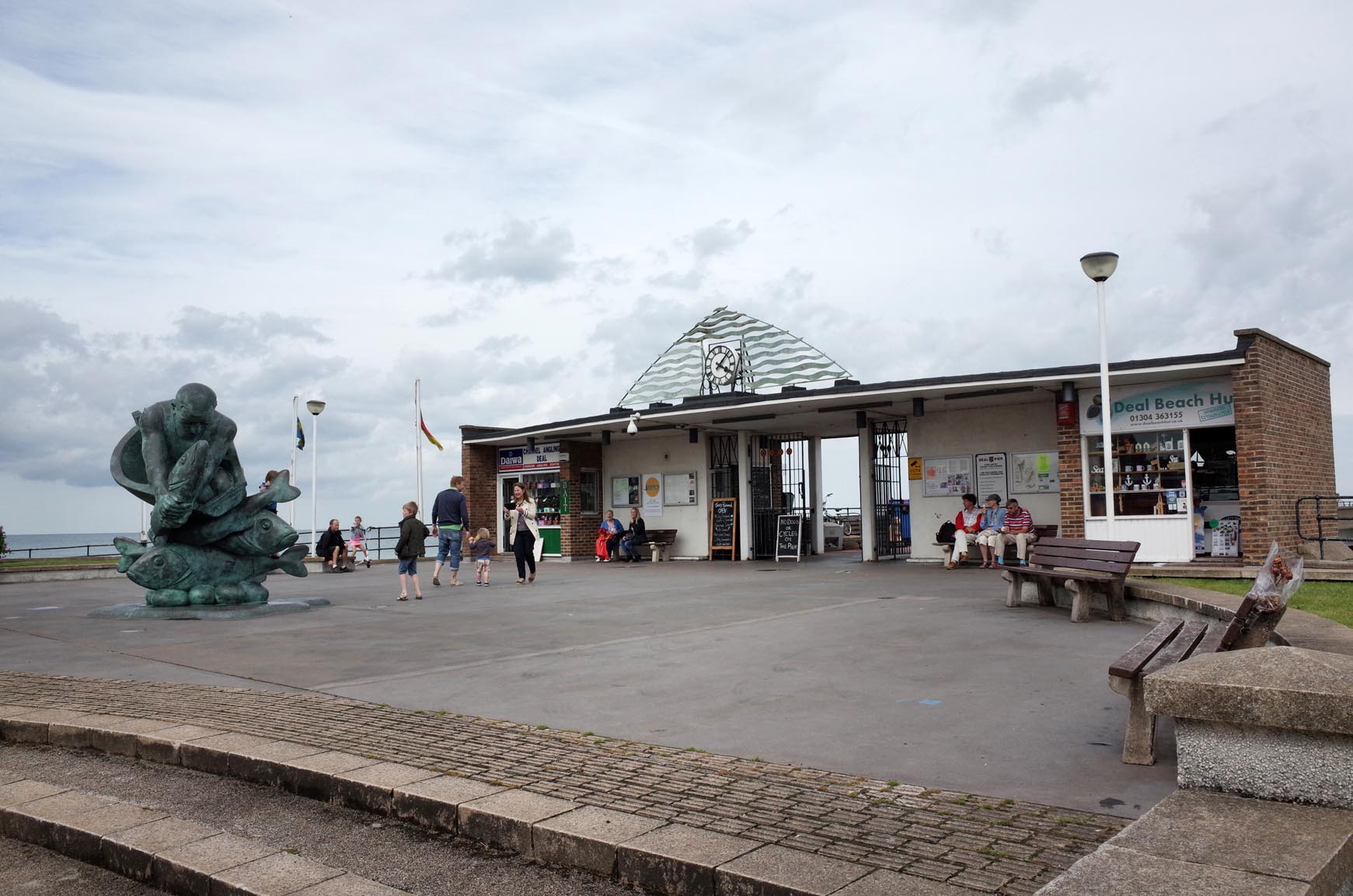
| Title | [EPW019059] Gladstone Road, the town and the pier, Deal, 1927. This image has been produced from a print. |
| Reference | EPW019059 |
| Date | 3-August-1927 |
| Link | |
| Place name | DEAL |
| Parish | WALMER |
| District | |
| Country | ENGLAND |
| Easting / Northing | 637650, 152120 |
| Longitude / Latitude | 1.4035371250499, 51.218214643045 |
| National Grid Reference | TR377521 |
Pins
 Jagdhorn |
Tuesday 7th of April 2020 02:03:27 PM | |
 Alan McFaden |
Sunday 16th of November 2014 03:43:56 PM |
User Comment Contributions
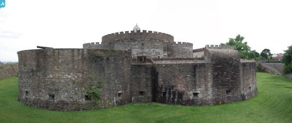
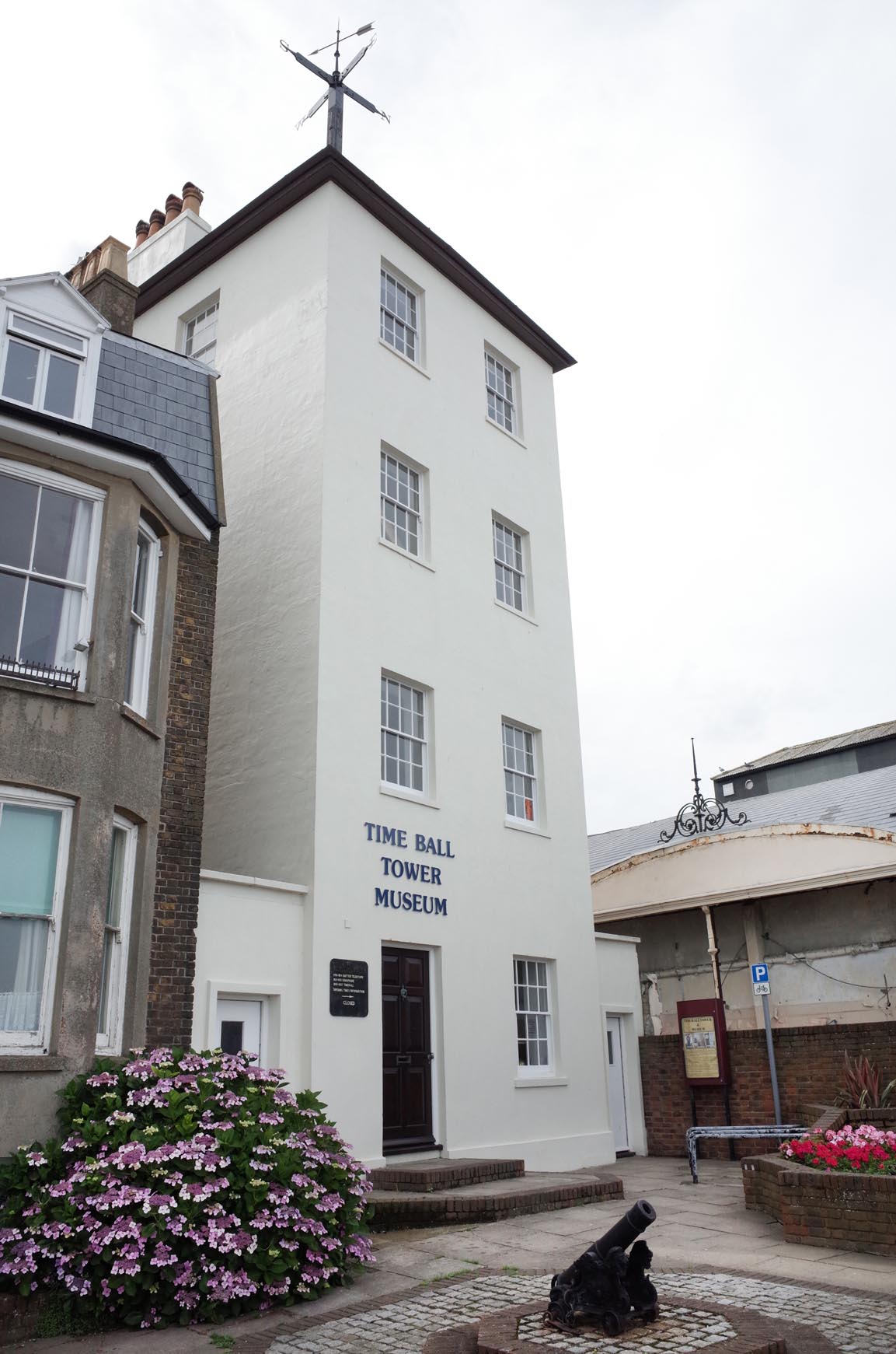 The Ball Tower Museum Deal |
Alan McFaden |
Sunday 16th of November 2014 03:44:41 PM |
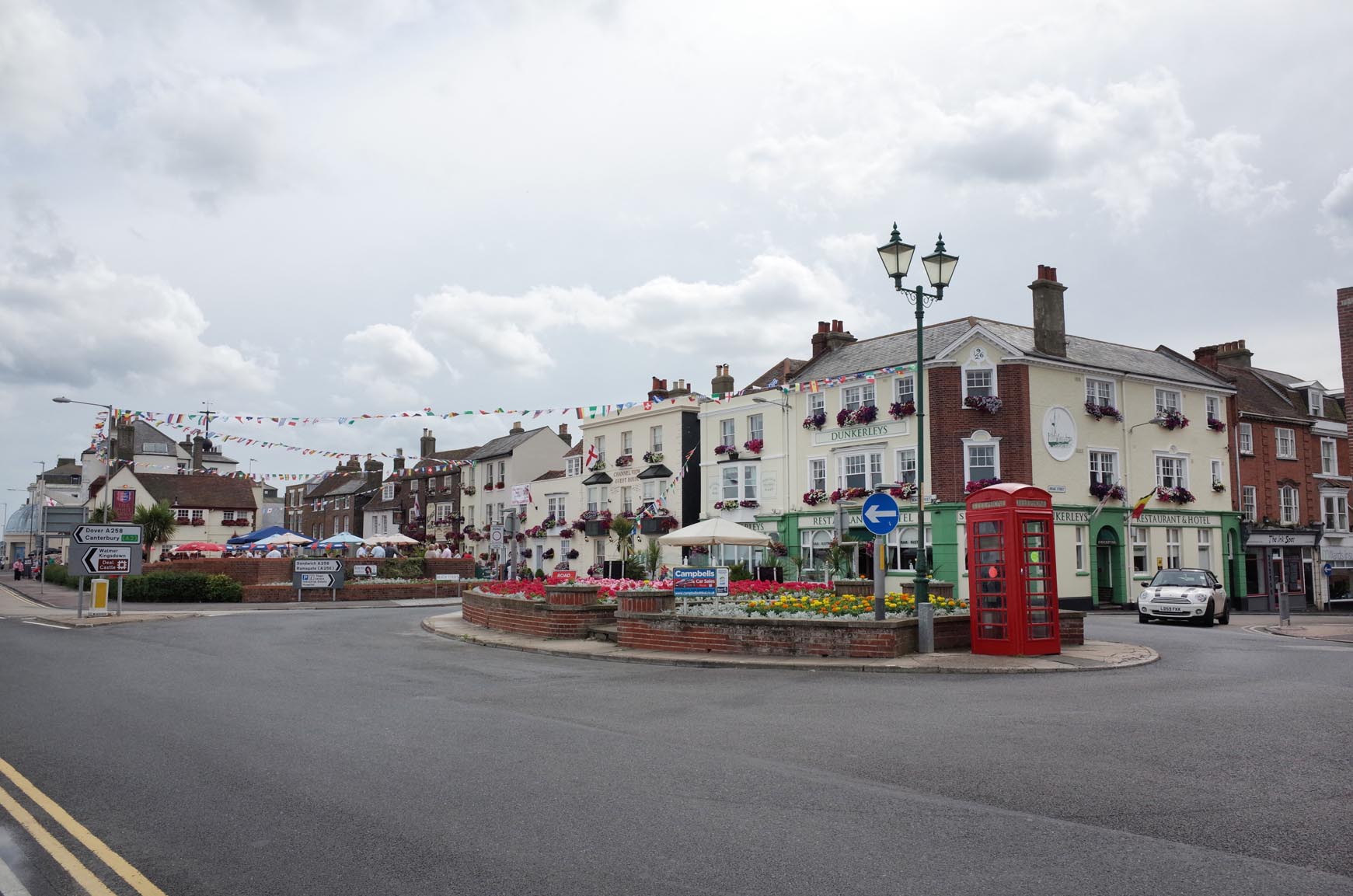 Deal Kent |
Alan McFaden |
Sunday 16th of November 2014 03:44:16 PM |
 Deal Pier 2014 |
Alan McFaden |
Sunday 16th of November 2014 03:43:25 PM |