
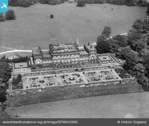
EPW015836 ENGLAND (1926). Harewood House, Harewood, 1926
© Copyright OpenStreetMap contributors and licensed by the OpenStreetMap Foundation. 2024. Cartography is licensed as CC BY-SA.
Nearby Images (7)
EPW015836

EPW015832

EPW015834

EPW015833

EPW015835

EAW025640

EAW025638

Details
| Title | [EPW015836] Harewood House, Harewood, 1926 |
| Reference | EPW015836 |
| Date | 5-June-1926 |
| Link | |
| Place name | HAREWOOD |
| Parish | HAREWOOD |
| District | |
| Country | ENGLAND |
| Easting / Northing | 431173, 444623 |
| Longitude / Latitude | -1.525563015045, 53.89663813536 |
| National Grid Reference | SE312446 |
Pins
Be the first to add a comment to this image!