
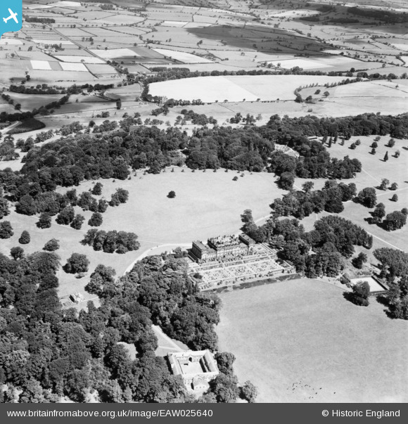
EAW025640 ENGLAND (1949). Harewood House and grounds, Harewood, from the south, 1949
© Copyright OpenStreetMap contributors and licensed by the OpenStreetMap Foundation. 2024. Cartography is licensed as CC BY-SA.
Nearby Images (7)
EAW025640

EPW015835

EPW015833

EPW015834

EPW015836

EPW015832

EAW025639

Details
| Title | [EAW025640] Harewood House and grounds, Harewood, from the south, 1949 |
| Reference | EAW025640 |
| Date | 3-August-1949 |
| Link | |
| Place name | HAREWOOD |
| Parish | HAREWOOD |
| District | |
| Country | ENGLAND |
| Easting / Northing | 431121, 444559 |
| Longitude / Latitude | -1.5263609039467, 53.896065992179 |
| National Grid Reference | SE311446 |
Pins
 Brick Collector |
Friday 25th of December 2015 03:30:20 PM |