
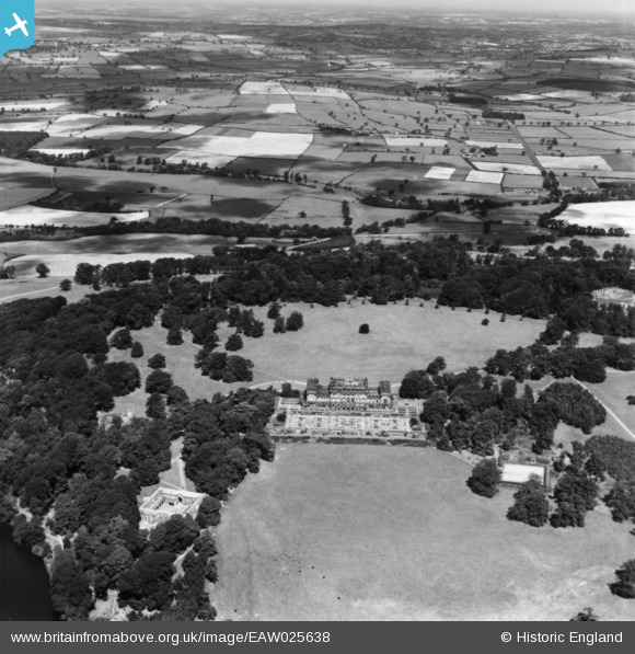
EAW025638 ENGLAND (1949). Harewood House and Harewood Park, Harewood, 1949. This image has been produced from a print.
© Copyright OpenStreetMap contributors and licensed by the OpenStreetMap Foundation. 2024. Cartography is licensed as CC BY-SA.
Nearby Images (6)
EAW025638

EPW015836

EPW015832

EPW015835

EPW015834

EPW015833

Details
| Title | [EAW025638] Harewood House and Harewood Park, Harewood, 1949. This image has been produced from a print. |
| Reference | EAW025638 |
| Date | 3-August-1949 |
| Link | |
| Place name | HAREWOOD |
| Parish | HAREWOOD |
| District | |
| Country | ENGLAND |
| Easting / Northing | 431062, 444852 |
| Longitude / Latitude | -1.5272290788935, 53.898703178277 |
| National Grid Reference | SE311449 |
Pins
Be the first to add a comment to this image!