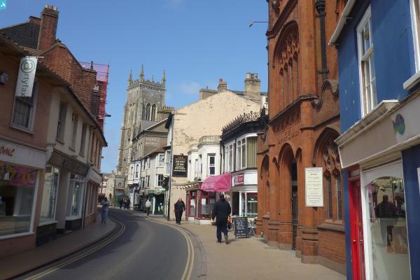
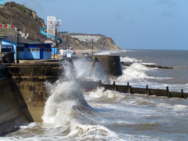
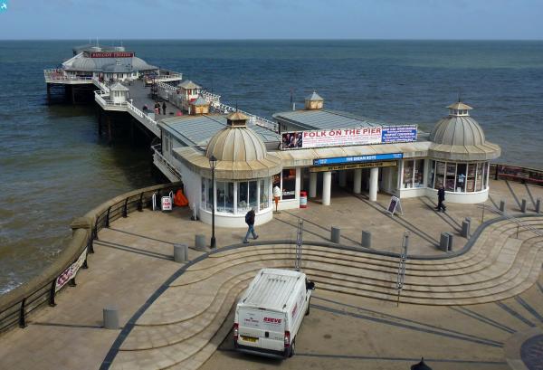
EPW001811 ENGLAND (1920). View of Cromer, St Peter and St Paul's Church and the pier, Cromer, 1920

© Copyright OpenStreetMap contributors and licensed by the OpenStreetMap Foundation. 2024. Cartography is licensed as CC BY-SA.
Nearby Images (8)
EPW001811

EPW001816

EAW051641

EAW051642

EPW021224

EPW021227

EAW051649

EPW021226

Details
| Title | [EPW001811] View of Cromer, St Peter and St Paul's Church and the pier, Cromer, 1920 |
| Reference | EPW001811 |
| Date | June-1920 |
| Link | |
| Place name | CROMER |
| Parish | CROMER |
| District | |
| Country | ENGLAND |
| Easting / Northing | 622021, 342039 |
| Longitude / Latitude | 1.3037328283827, 52.929452492672 |
| National Grid Reference | TG220420 |
Pins
 Alan McFaden |
Monday 22nd of July 2013 10:31:59 AM | |
Alan McFaden |
Monday 22nd of July 2013 10:31:04 AM | |
Alan McFaden |
Monday 22nd of July 2013 10:30:22 AM | |
Alan McFaden |
Monday 22nd of July 2013 10:29:45 AM | |
Alan McFaden |
Monday 22nd of July 2013 10:29:19 AM | |
Alan McFaden |
Monday 22nd of July 2013 10:28:54 AM | |
Alan McFaden |
Monday 22nd of July 2013 10:28:31 AM | |
 Hugh Madgin |
Wednesday 22nd of May 2013 09:17:54 PM | |
 Class31 |
Monday 3rd of September 2012 08:15:16 PM | |
Class31 |
Monday 3rd of September 2012 08:14:15 PM | |
Class31 |
Monday 3rd of September 2012 08:13:27 PM | |
Class31 |
Monday 3rd of September 2012 08:09:39 PM | |
Class31 |
Monday 3rd of September 2012 08:07:10 PM | |
Class31 |
Monday 3rd of September 2012 08:06:38 PM |