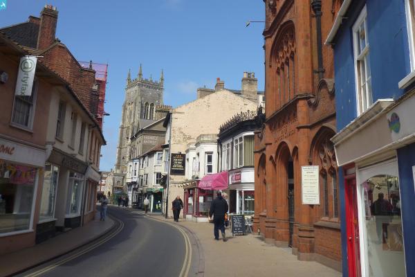
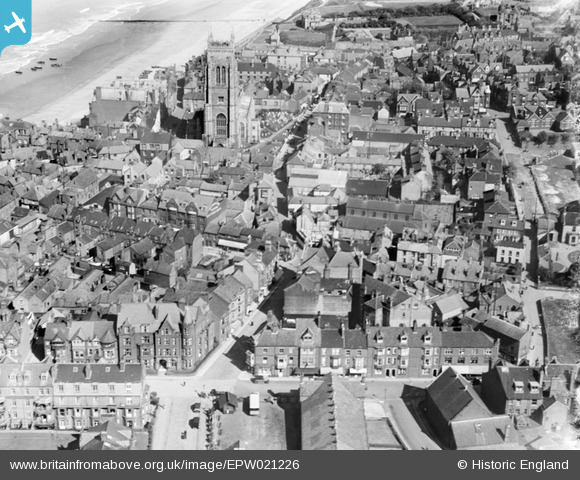
EPW021226 ENGLAND (1928). St Peter and St Paul's Church and the town, Cromer, 1928
© Copyright OpenStreetMap contributors and licensed by the OpenStreetMap Foundation. 2024. Cartography is licensed as CC BY-SA.
Nearby Images (17)
EPW021226

EPW021224

EAW051648

EPW001815

EPW021227

EAW051643

EAW051646

EPW001817

EAW051642

EPW001812

EPW039248

EAW051649

EPW001811

EPW039246

EAW051647

EAW051644
 and West Parade Hotel, Cromer, 1953")
EAW044014

Details
| Title | [EPW021226] St Peter and St Paul's Church and the town, Cromer, 1928 |
| Reference | EPW021226 |
| Date | May-1928 |
| Link | |
| Place name | CROMER |
| Parish | CROMER |
| District | |
| Country | ENGLAND |
| Easting / Northing | 621820, 342185 |
| Longitude / Latitude | 1.3008471086979, 52.930845954857 |
| National Grid Reference | TG218422 |
Pins
 |
 melgibbs |
Wednesday 5th of March 2014 08:55:35 PM |
 Alan McFaden |
Friday 19th of July 2013 06:43:59 PM | |
Alan McFaden |
Friday 19th of July 2013 06:43:33 PM | |
Alan McFaden |
Friday 19th of July 2013 06:42:53 PM | |
 Class31 |
Monday 3rd of September 2012 09:08:50 PM | |
Class31 |
Monday 3rd of September 2012 09:08:14 PM | |
Class31 |
Monday 3rd of September 2012 09:07:41 PM | |
 |
 macbrack |
Tuesday 26th of June 2012 12:03:42 PM |