
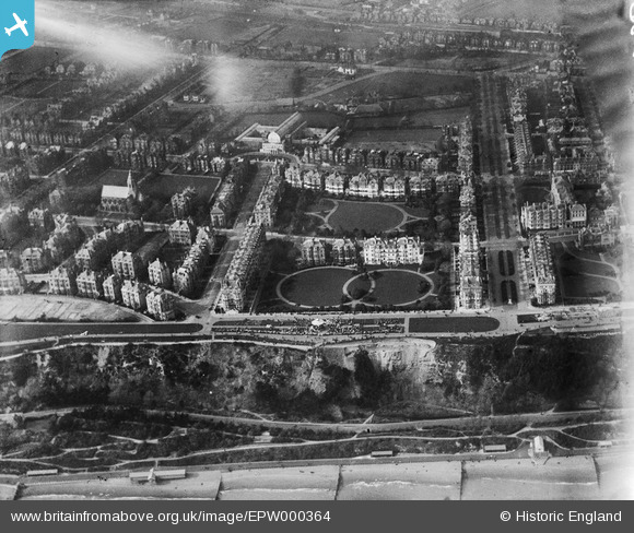
EPW000364 ENGLAND (1920). Clifton Gardens, Folkestone, 1920
© Copyright OpenStreetMap contributors and licensed by the OpenStreetMap Foundation. 2024. Cartography is licensed as CC BY-SA.
Nearby Images (22)
EPW000364

EAW002854

EAW024830

EPW009201

EAW002855

EPW000588

EPW009197

EPW000592

EAW002370

EAW024828

EAW002375

EPW035414

EPW000366

EAW002374

EAW024829

EPW000082

EPW009199

EAW024827

EPW000583

EPW000085

EAW002867

EAW024833

Details
| Title | [EPW000364] Clifton Gardens, Folkestone, 1920 |
| Reference | EPW000364 |
| Date | April-1920 |
| Link | |
| Place name | FOLKESTONE |
| Parish | FOLKESTONE |
| District | |
| Country | ENGLAND |
| Easting / Northing | 622163, 135559 |
| Longitude / Latitude | 1.1718968136744, 51.075746341795 |
| National Grid Reference | TR222356 |
Pins
 Henrynorth |
Tuesday 2nd of June 2020 02:17:47 AM | |
Plwimsett |
Thursday 1st of October 2015 12:51:22 PM | |
Surrenden |
Sunday 22nd of July 2012 11:21:05 AM | |
Paolo |
Friday 20th of July 2012 02:49:56 PM |


