
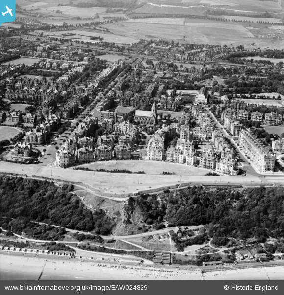
EAW024829 ENGLAND (1949). Clifton Crescent and environs, Folkestone, 1949
© Copyright OpenStreetMap contributors and licensed by the OpenStreetMap Foundation. 2024. Cartography is licensed as CC BY-SA.
Nearby Images (14)
EAW024829

EPW000592

EPW000082

EPW000366

EPW000085

EPW000583

EAW002375

EAW002374

EAW024833

EAW002854

EPW000077

EPW000364

EPW009201

EPW000588

Details
| Title | [EAW024829] Clifton Crescent and environs, Folkestone, 1949 |
| Reference | EAW024829 |
| Date | 12-July-1949 |
| Link | |
| Place name | FOLKESTONE |
| Parish | FOLKESTONE |
| District | |
| Country | ENGLAND |
| Easting / Northing | 621965, 135513 |
| Longitude / Latitude | 1.1690462890455, 51.075409907013 |
| National Grid Reference | TR220355 |
Pins
Be the first to add a comment to this image!


