
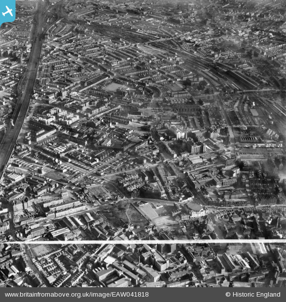
EAW041818 ENGLAND (1952). Grange Road and environs, Bermondsey, 1952. This image was marked by Aerofilms Ltd for photo editing.
© Copyright OpenStreetMap contributors and licensed by the OpenStreetMap Foundation. 2024. Cartography is licensed as CC BY-SA.
Nearby Images (15)
EAW041818

EAW041815

EAW041817

EAW041823

EAW041813

EAW041824

EAW041821

EAW041819

EAW041820

EAW041826

EAW041814

EAW041816

EAW041822

EPW055345

EAW041825

Details
| Title | [EAW041818] Grange Road and environs, Bermondsey, 1952. This image was marked by Aerofilms Ltd for photo editing. |
| Reference | EAW041818 |
| Date | 5-March-1952 |
| Link | |
| Place name | BERMONDSEY |
| Parish | |
| District | |
| Country | ENGLAND |
| Easting / Northing | 533581, 179178 |
| Longitude / Latitude | -0.075488965767274, 51.495257190629 |
| National Grid Reference | TQ336792 |
Pins
 Robin |
Tuesday 2nd of June 2020 01:45:19 PM | |
Robin |
Tuesday 2nd of June 2020 12:28:06 AM | |
 |
Leslie B |
Monday 26th of November 2018 03:09:48 PM |
auntierotter |
Sunday 23rd of July 2017 09:27:26 PM | |
auntierotter |
Sunday 23rd of July 2017 09:26:08 PM | |
 Class31 |
Saturday 26th of July 2014 10:36:57 PM | |
Chelsea61 |
Thursday 1st of May 2014 06:40:22 PM |
