
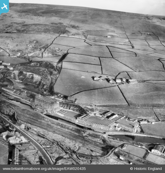
EAW020435 ENGLAND (1948). Rock Nook Cotton Mill and environs, Calderbrook, from the south-west, 1948
© Copyright OpenStreetMap contributors and licensed by the OpenStreetMap Foundation. 2024. Cartography is licensed as CC BY-SA.
Nearby Images (10)
EAW020435

EAW020431

EAW020434

EAW020433

EAW020429

EAW020419

EAW020430

EAW020432

EAW020423

EAW020426

Details
| Title | [EAW020435] Rock Nook Cotton Mill and environs, Calderbrook, from the south-west, 1948 |
| Reference | EAW020435 |
| Date | 8-November-1948 |
| Link | |
| Place name | CALDERBROOK |
| Parish | |
| District | |
| Country | ENGLAND |
| Easting / Northing | 394665, 417880 |
| Longitude / Latitude | -2.0807347570831, 53.657154261925 |
| National Grid Reference | SD947179 |
Pins
Be the first to add a comment to this image!