
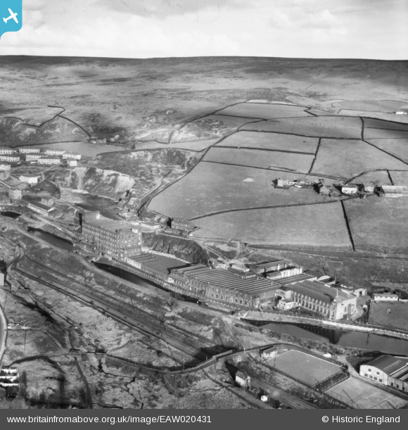
EAW020431 ENGLAND (1948). Rock Nook Cotton Mill, Calderbrook, from the south-west, 1948
© Copyright OpenStreetMap contributors and licensed by the OpenStreetMap Foundation. 2024. Cartography is licensed as CC BY-SA.
Nearby Images (13)
EAW020431

EAW020434

EAW020435

EAW020433

EAW020419

EAW020429

EAW020423

EAW020430

EAW020432

EAW020426

EAW020420

EAW020427
 4-6-0 5226 passing the Green Vale Cotton Mill, Calderbrook, 1948")
EAW020425

Details
| Title | [EAW020431] Rock Nook Cotton Mill, Calderbrook, from the south-west, 1948 |
| Reference | EAW020431 |
| Date | 8-November-1948 |
| Link | |
| Place name | CALDERBROOK |
| Parish | |
| District | |
| Country | ENGLAND |
| Easting / Northing | 394644, 417852 |
| Longitude / Latitude | -2.0810520677127, 53.656902349195 |
| National Grid Reference | SD946179 |
Pins
Be the first to add a comment to this image!