
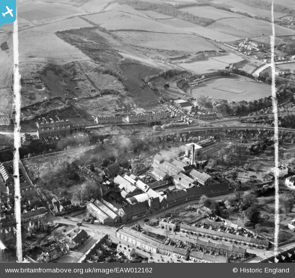
EAW012162 ENGLAND (1947). Buckland Paper Mill and environs, Buckland, 1947. This image was marked by Aerofilms Ltd for photo editing.
© Copyright OpenStreetMap contributors and licensed by the OpenStreetMap Foundation. 2025. Cartography is licensed as CC BY-SA.
Nearby Images (10)
EAW012162

EAW012161

EAW012163

EAW012160

EAW012164

EAW012159

EAW012158

EPW038165

EPW038166

EPW038164

Details
| Title | [EAW012162] Buckland Paper Mill and environs, Buckland, 1947. This image was marked by Aerofilms Ltd for photo editing. |
| Reference | EAW012162 |
| Date | 10-November-1947 |
| Link | |
| Place name | BUCKLAND |
| Parish | DOVER |
| District | |
| Country | ENGLAND |
| Easting / Northing | 630344, 142742 |
| Longitude / Latitude | 1.2930815997852, 51.137012086731 |
| National Grid Reference | TR303427 |
