
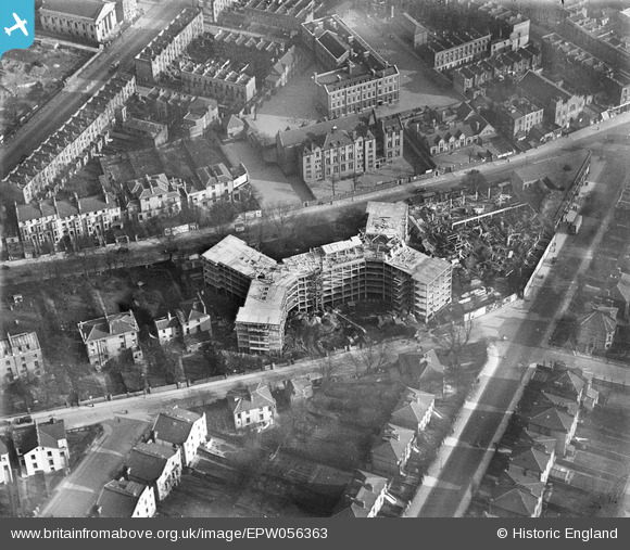
EPW056363 ENGLAND (1938). Eton Place Flat Block under construction, Camden Town, 1938
© Hawlfraint cyfranwyr OpenStreetMap a thrwyddedwyd gan yr OpenStreetMap Foundation. 2024. Trwyddedir y gartograffeg fel CC BY-SA.
Delweddau cyfagos (35)
EPW056363

EPW056365

EPW056358

EPW056359

EPW058590

EPW060333

EPW060334

EPW060331

EPW058591

EPW058477

EPW060335

EPW058474

EPW058594

EPW060332

EPW058473

EPW058593

EPW060330

EPW060302
, Maitland Park, 1938")
EPW058476

EPW060306
, Maitland Park, 1938")
EPW058592

EPW060303
, Maitland Park, 1938")
EPW058475

EPW058478

EPW060305
, Maitland Park, 1938")
EPW060304
, Maitland Park, 1938")
EPW056360

EPW056362

EPW056361

EPW056364

EPW000807

EPW000808

EPW000806

EPW000433

EPW000803

Manylion
| Pennawd | [EPW056363] Eton Place Flat Block under construction, Camden Town, 1938 |
| Cyfeirnod | EPW056363 |
| Dyddiad | 9-February-1938 |
| Dolen | |
| Enw lle | CAMDEN TOWN |
| Plwyf | |
| Ardal | |
| Gwlad | ENGLAND |
| Dwyreiniad / Gogleddiad | 528037, 184462 |
| Hydred / Lledred | -0.15339595638269, 51.544031803072 |
| Cyfeirnod Grid Cenedlaethol | TQ280845 |
Pinnau
 Class31 |
Monday 26th of October 2015 11:06:44 PM | |
Class31 |
Saturday 29th of November 2014 01:16:30 PM | |
Class31 |
Tuesday 15th of October 2013 08:14:31 PM | |
Class31 |
Tuesday 15th of October 2013 08:13:13 PM | |
Class31 |
Tuesday 15th of October 2013 08:12:53 PM | |
Class31 |
Tuesday 15th of October 2013 08:12:33 PM |


