
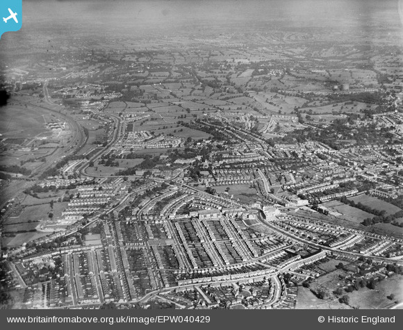
EPW040429 ENGLAND (1932). Housing development around Hendon Central, Hendon, from the south, 1932
© Hawlfraint cyfranwyr OpenStreetMap a thrwyddedwyd gan yr OpenStreetMap Foundation. 2024. Trwyddedir y gartograffeg fel CC BY-SA.
Delweddau cyfagos (14)
EPW040429

EPW040426

EPW040427

EPW040431

EPW031655

EPW040428

EPW040432

EPW016522

EPW040430

EPR000516

EPW016520

EPW009537

EPW009348

EPW038717

Manylion
| Pennawd | [EPW040429] Housing development around Hendon Central, Hendon, from the south, 1932 |
| Cyfeirnod | EPW040429 |
| Dyddiad | September-1932 |
| Dolen | |
| Enw lle | HENDON |
| Plwyf | |
| Ardal | |
| Gwlad | ENGLAND |
| Dwyreiniad / Gogleddiad | 522775, 188347 |
| Hydred / Lledred | -0.22788971926743, 51.580120128605 |
| Cyfeirnod Grid Cenedlaethol | TQ228883 |
Pinnau
 ken |
Monday 12th of October 2015 05:50:52 PM | |
NthLondonBoy |
Sunday 11th of January 2015 06:28:49 PM | |
NthLondonBoy |
Sunday 11th of January 2015 06:27:20 PM | |
NthLondonBoy |
Sunday 11th of January 2015 06:25:17 PM | |
NthLondonBoy |
Sunday 11th of January 2015 06:23:16 PM |