
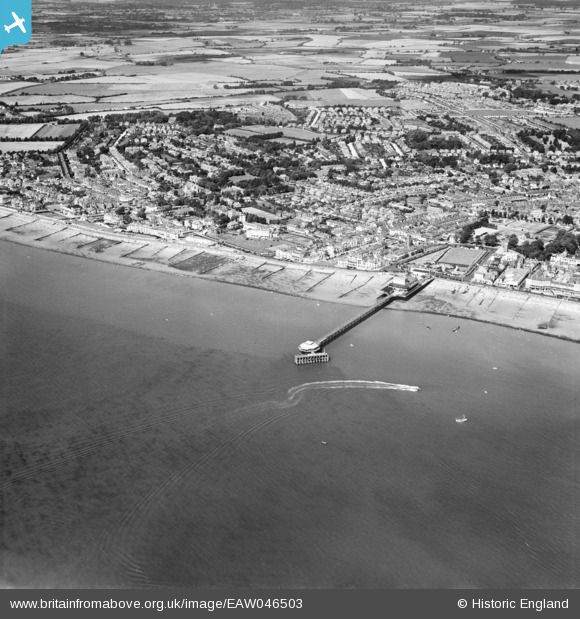
EAW046503 ENGLAND (1952). The pier and town, Bognor Regis, from the south-east, 1952
© Hawlfraint cyfranwyr OpenStreetMap a thrwyddedwyd gan yr OpenStreetMap Foundation. 2024. Trwyddedir y gartograffeg fel CC BY-SA.
Delweddau cyfagos (5)
EAW046503

EPW040108

EAW046804

EAW046504

EAW046803

Manylion
| Pennawd | [EAW046503] The pier and town, Bognor Regis, from the south-east, 1952 |
| Cyfeirnod | EAW046503 |
| Dyddiad | 28-August-1952 |
| Dolen | |
| Enw lle | BOGNOR REGIS |
| Plwyf | BOGNOR REGIS |
| Ardal | |
| Gwlad | ENGLAND |
| Dwyreiniad / Gogleddiad | 493607, 98489 |
| Hydred / Lledred | -0.67216823245538, 50.777849166313 |
| Cyfeirnod Grid Cenedlaethol | SZ936985 |
Pinnau
 Richard Dawson |
Friday 12th of September 2014 06:19:16 PM | |
ordinarybloke |
Monday 9th of June 2014 01:23:07 PM |


