
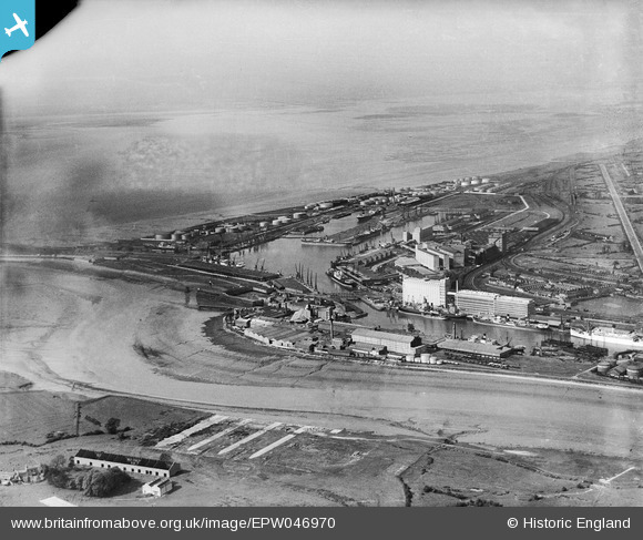
epw046970 ENGLAND (1935). Avonmouth Dock, the Royal Edward Dock and environs, Avonmouth, from the south, 1935
© Copyright OpenStreetMap contributors and licensed by the OpenStreetMap Foundation. 2024. Cartography is licensed as CC BY-SA.
Nearby Images (15)
EPW046970

EPW043043

EPW014691

EPW008649

EPW005513

EPW043044

EPW005488

EPW005487

EAW002071

EPW008651

EPW027951

EPW027954

EPR000058

EPR000059

EPW043049

Details
| Title | [EPW046970] Avonmouth Dock, the Royal Edward Dock and environs, Avonmouth, from the south, 1935 |
| Reference | EPW046970 |
| Date | May-1935 |
| Link | |
| Place name | AVONMOUTH |
| Parish | |
| District | |
| Country | ENGLAND |
| Easting / Northing | 351113, 177884 |
| Longitude / Latitude | -2.704324245907, 51.497296257638 |
| National Grid Reference | ST511779 |
Pins
 redmist |
Monday 9th of November 2020 09:26:42 AM | |
MB |
Saturday 20th of August 2016 05:00:53 PM | |
pewseyfam |
Monday 25th of August 2014 10:41:49 PM | |
 Class31 |
Saturday 22nd of February 2014 07:50:12 PM |