
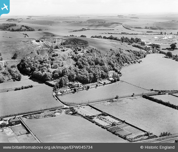
epw045734 ENGLAND (1934). A disused quarry behind Southdown House and surrounding countryside, Warminster, from the west, 1934
© Copyright OpenStreetMap contributors and licensed by the OpenStreetMap Foundation. 2025. Cartography is licensed as CC BY-SA.
Nearby Images (12)
EPW045734

EPW058912

EPW058916

EPW058913

EPW058910

EPW058914

EPW045736

EPW058911

EPW058915

EPW045737

EPW045738

EPW045735

Details
| Title | [EPW045734] A disused quarry behind Southdown House and surrounding countryside, Warminster, from the west, 1934 |
| Reference | EPW045734 |
| Date | July-1934 |
| Link | |
| Place name | WARMINSTER |
| Parish | WARMINSTER |
| District | |
| Country | ENGLAND |
| Easting / Northing | 387388, 145924 |
| Longitude / Latitude | -2.1805768844347, 51.21186394615 |
| National Grid Reference | ST874459 |
Pins
 Class31 |
Monday 12th of October 2015 11:05:37 PM | |
Class31 |
Sunday 28th of July 2013 08:34:41 PM | |
Class31 |
Thursday 20th of June 2013 02:36:45 PM | |
Class31 |
Monday 20th of May 2013 05:34:23 PM | |
Class31 |
Monday 20th of May 2013 01:57:58 PM | |
Class31 |
Monday 20th of May 2013 01:45:49 PM | |
Class31 |
Monday 20th of May 2013 01:45:25 PM |
User Comment Contributions
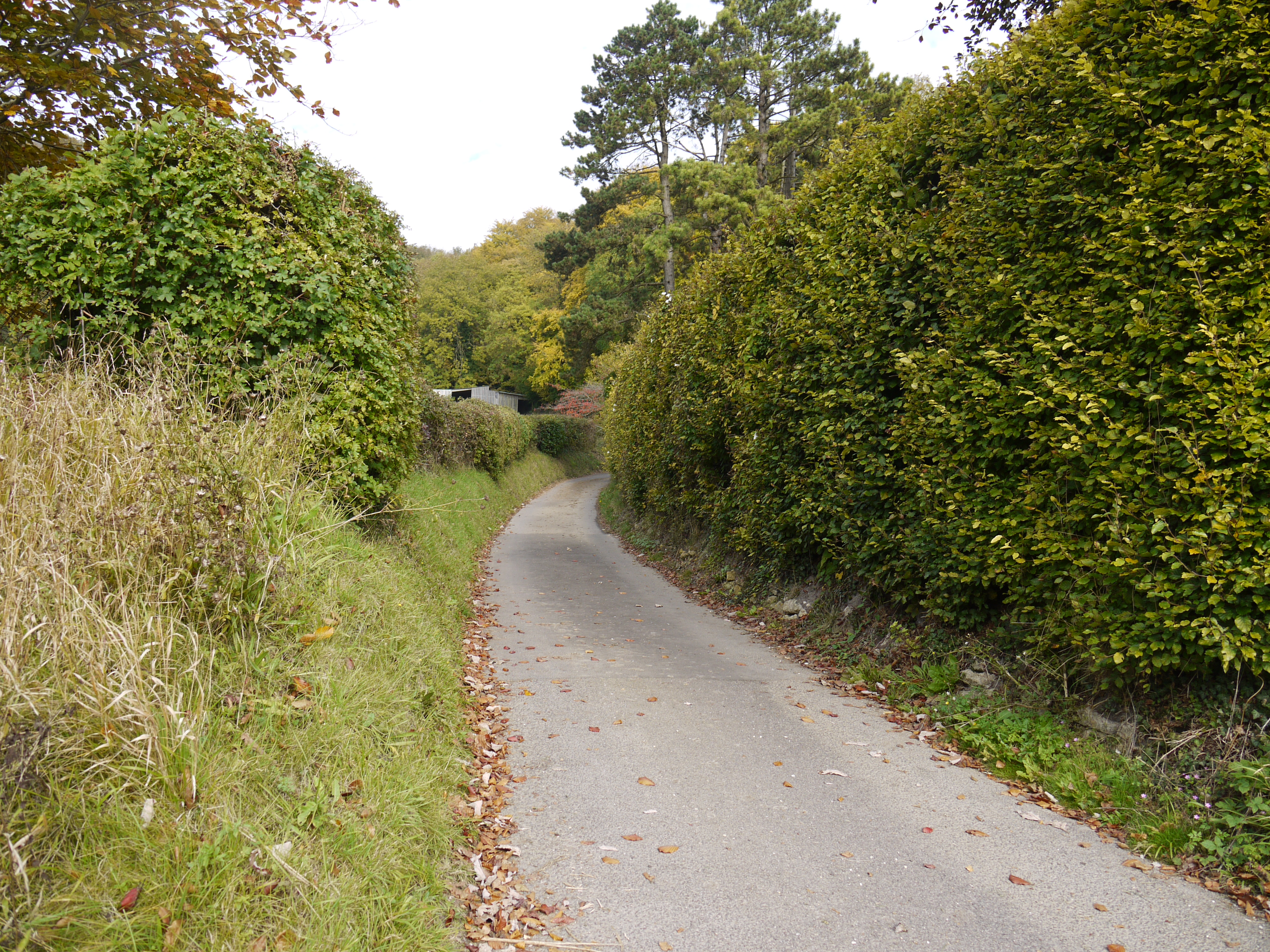
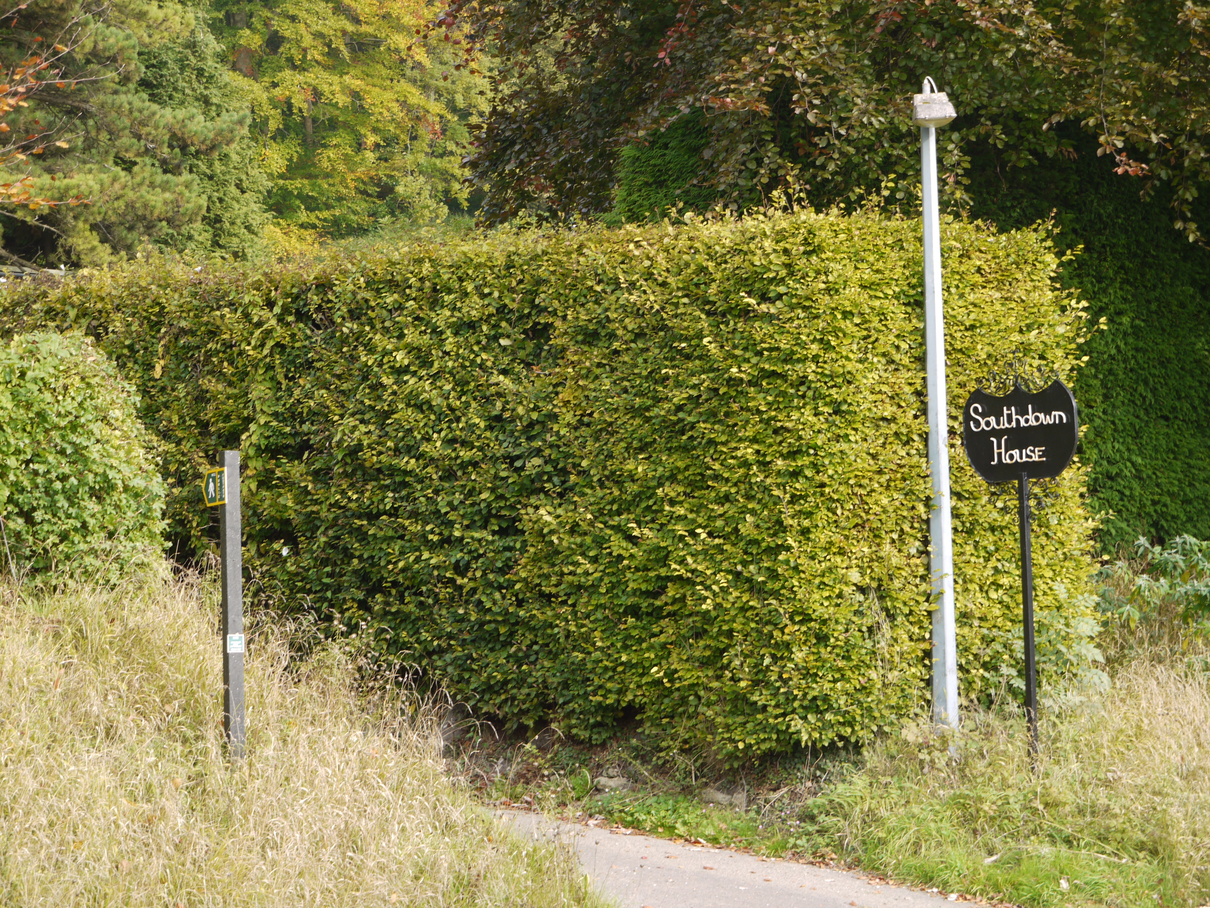
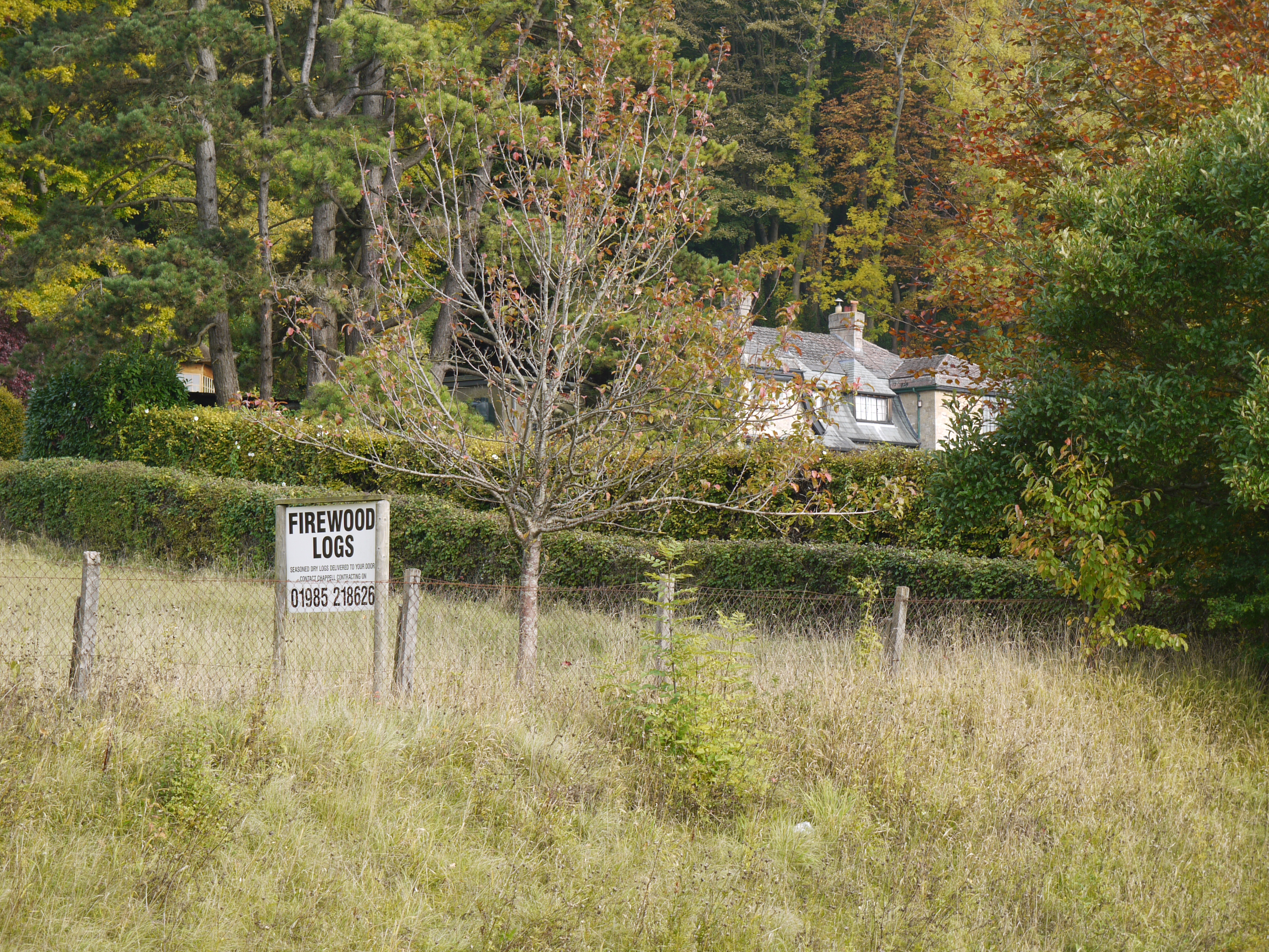
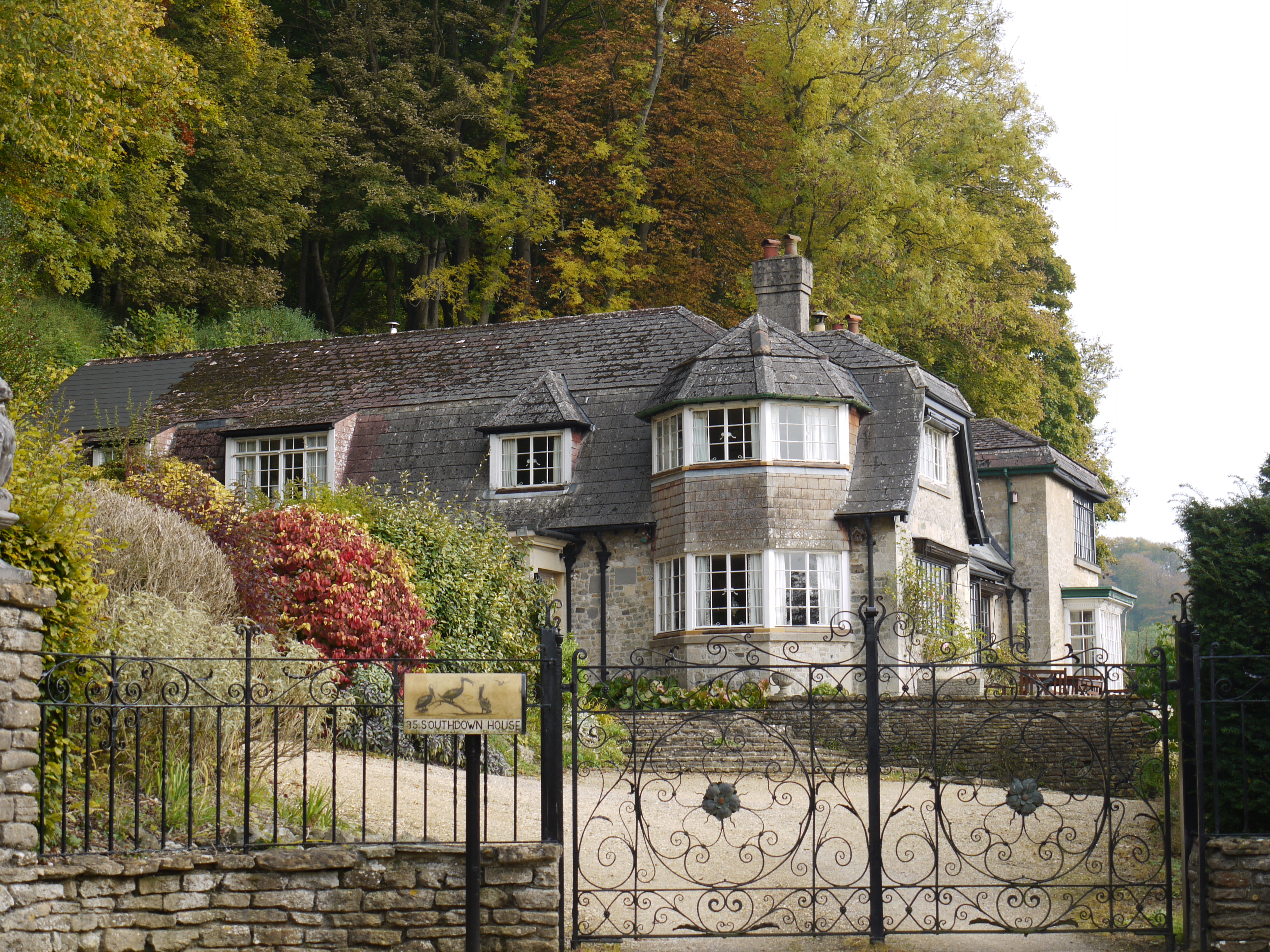 Southdown House, Warminster, 11/10/2015 |
Class31 |
Monday 12th of October 2015 11:08:59 PM |
 Southdown House, Warminster, 11/10/2015 |
Class31 |
Monday 12th of October 2015 11:08:12 PM |
 Southdown House, Warminster, 11/10/2015 |
Class31 |
Monday 12th of October 2015 11:07:34 PM |
 Southdown House, Warminster, 11/10/2015 |
Class31 |
Monday 12th of October 2015 11:06:54 PM |
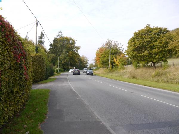
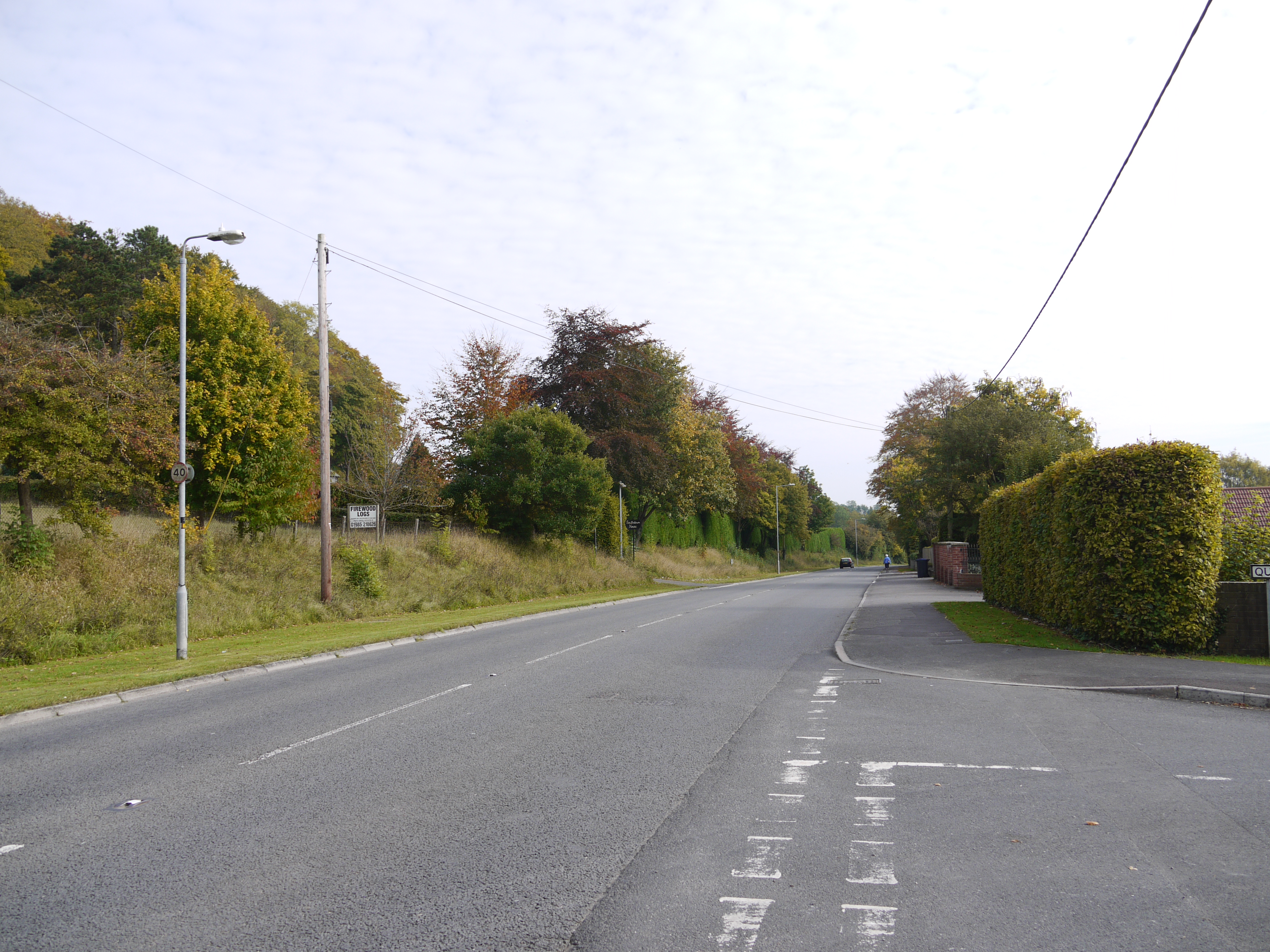 Westbury Road, Warminster, 11/10/2015 |
Class31 |
Monday 12th of October 2015 11:06:15 PM |