
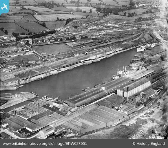
epw027951 ENGLAND (1929). Avonmouth Dock and environs, Avonmouth, 1929
© Copyright OpenStreetMap contributors and licensed by the OpenStreetMap Foundation. 2024. Cartography is licensed as CC BY-SA.
Nearby Images (16)
EPW027951

EPR000058

EPW027954

EPR000059

EPW005487

EAW002071

EPR000061

EPW008649

EPW027946

EPW046970

EAW002253

EPW043043

EPW014691

EPW005488

EAW002072

EPW046975

Details
| Title | [EPW027951] Avonmouth Dock and environs, Avonmouth, 1929 |
| Reference | EPW027951 |
| Date | June-1929 |
| Link | |
| Place name | AVONMOUTH |
| Parish | |
| District | |
| Country | ENGLAND |
| Easting / Northing | 351295, 177977 |
| Longitude / Latitude | -2.7017151909944, 51.498148213197 |
| National Grid Reference | ST513780 |
Pins
 NicTomkins |
Monday 18th of May 2020 12:12:36 PM | |
 Class31 |
Wednesday 20th of August 2014 10:24:43 AM |
User Comment Contributions
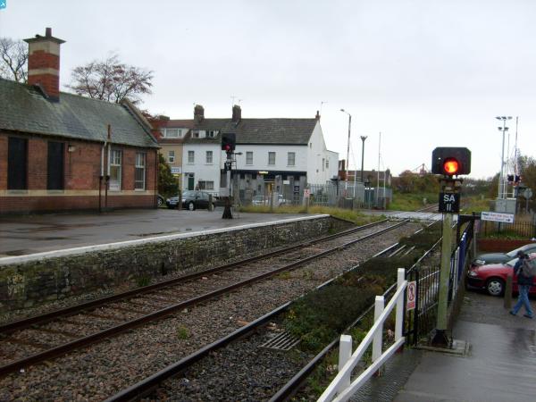
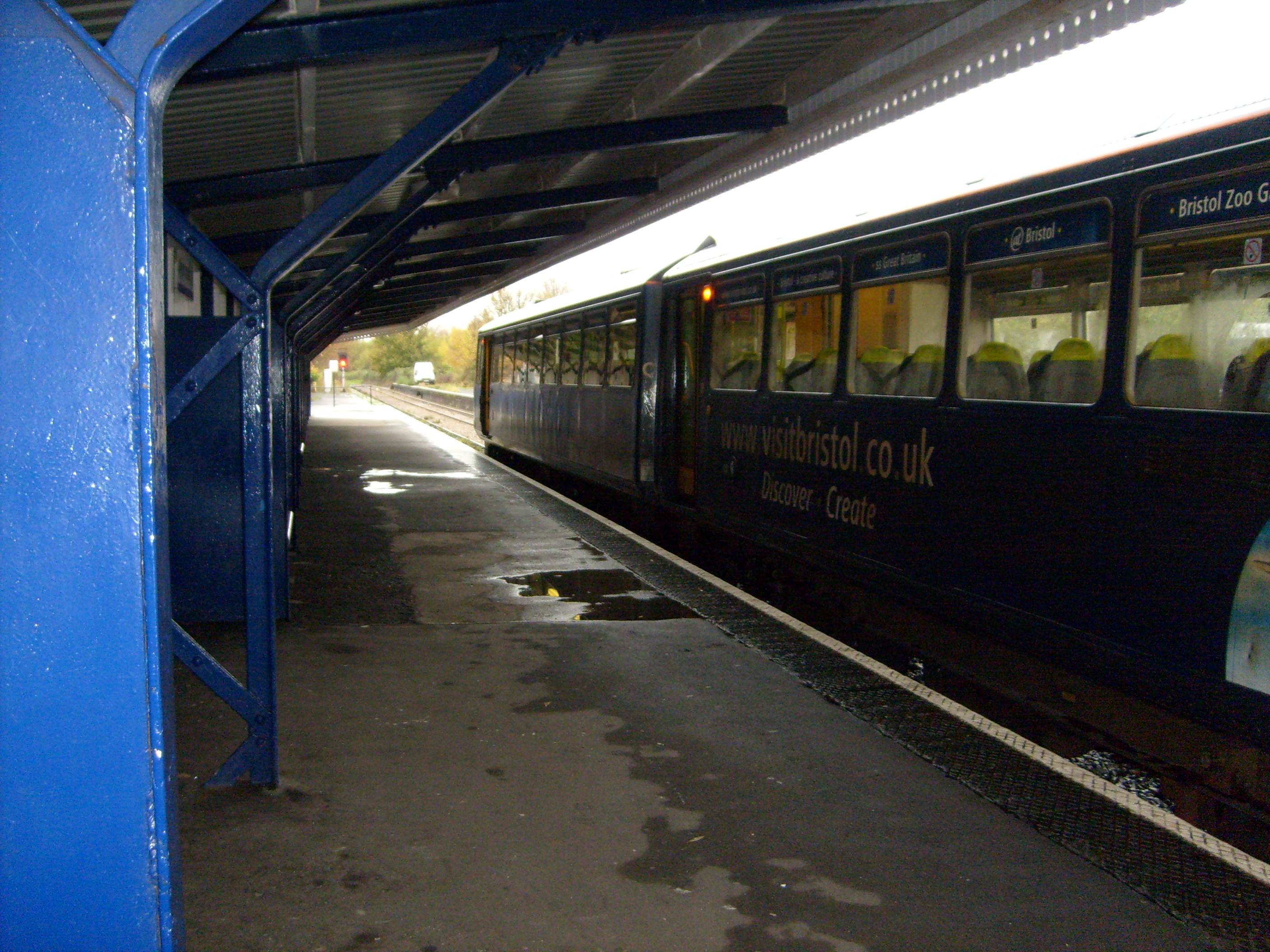 Avonmouth Station, 08/09/2007 |
Class31 |
Wednesday 20th of August 2014 10:26:06 AM |