
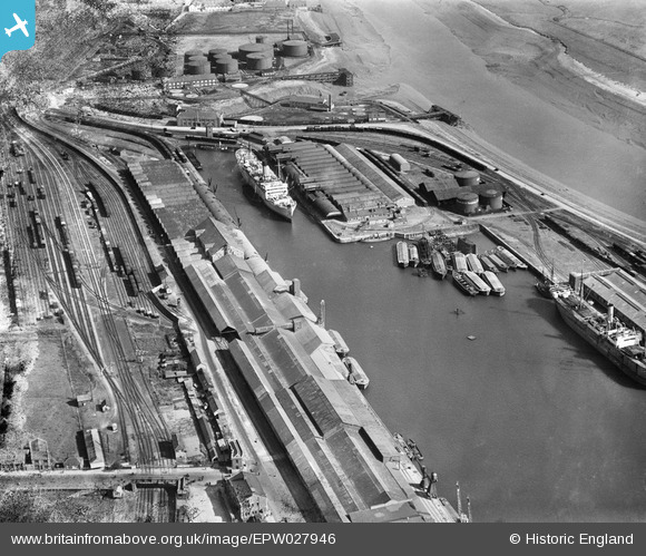
epw027946 ENGLAND (1929). Avonmouth Dock, Avonmouth, 1929
© Copyright OpenStreetMap contributors and licensed by the OpenStreetMap Foundation. 2024. Cartography is licensed as CC BY-SA.
Nearby Images (13)
EPW027946

EAW002253

EPR000061

EAW002072

EPW046975

EPW019270

EPW027954

EPR000059

EPR000058

EPW027951

EPW005487

EAW002071

EPW005516

Details
| Title | [EPW027946] Avonmouth Dock, Avonmouth, 1929 |
| Reference | EPW027946 |
| Date | June-1929 |
| Link | |
| Place name | AVONMOUTH |
| Parish | |
| District | |
| Country | ENGLAND |
| Easting / Northing | 351444, 177845 |
| Longitude / Latitude | -2.699550481476, 51.496974112554 |
| National Grid Reference | ST514778 |
Pins
Be the first to add a comment to this image!