
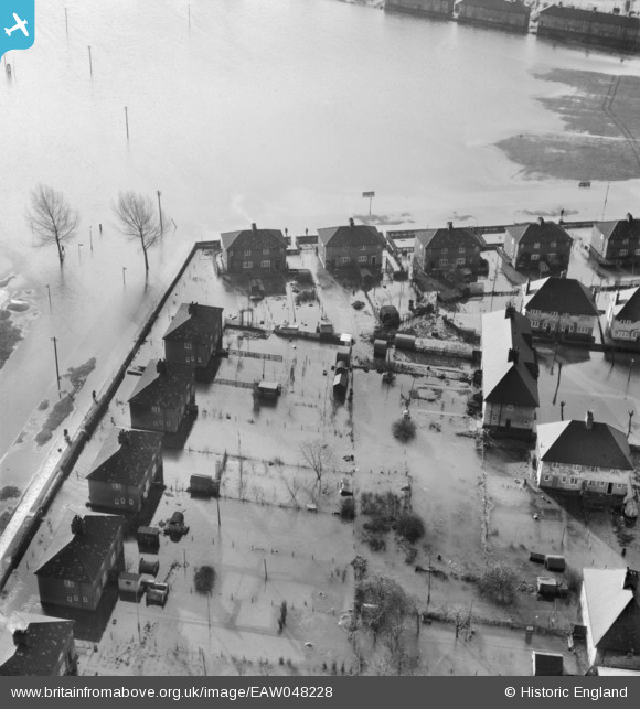
eaw048228 ENGLAND (1953). Flooding around Brennan Road and Feenan Highway, Tilbury, 1953
© Copyright OpenStreetMap contributors and licensed by the OpenStreetMap Foundation. 2026. Cartography is licensed as CC BY-SA.
Nearby Images (6)
EAW048228

EPW012429

EAW048232

EAW048227

EAW048223

EAW048230

Details
| Title | [EAW048228] Flooding around Brennan Road and Feenan Highway, Tilbury, 1953 |
| Reference | EAW048228 |
| Date | 2-February-1953 |
| Link | |
| Place name | TILBURY |
| Parish | |
| District | |
| Country | ENGLAND |
| Easting / Northing | 564624, 176404 |
| Longitude / Latitude | 0.37008391530796, 51.462146000092 |
| National Grid Reference | TQ646764 |
Pins
Be the first to add a comment to this image!