
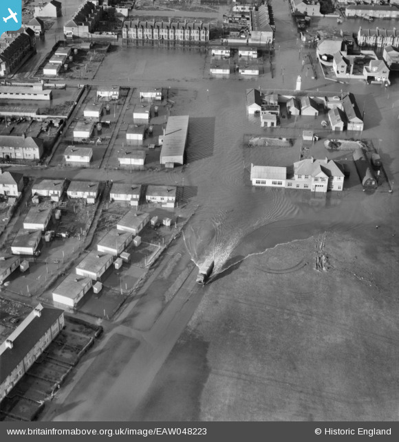
EAW048223 ENGLAND (1953). Flooding around Civic Square, Tilbury, 1953
© Copyright OpenStreetMap contributors and licensed by the OpenStreetMap Foundation. 2026. Cartography is licensed as CC BY-SA.
Nearby Images (5)
EAW048223

EAW048229

EAW048232

EPW012429

EAW048228

Details
| Title | [EAW048223] Flooding around Civic Square, Tilbury, 1953 |
| Reference | EAW048223 |
| Date | 2-February-1953 |
| Link | |
| Place name | TILBURY |
| Parish | |
| District | |
| Country | ENGLAND |
| Easting / Northing | 564474, 176234 |
| Longitude / Latitude | 0.36784726791552, 51.460662182954 |
| National Grid Reference | TQ645762 |
Pins

Billy Turner |
Wednesday 10th of February 2016 08:02:28 PM |
