
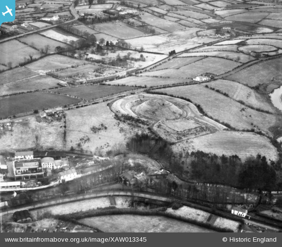
XAW013345 NORTHERN IRELAND (1948). General View, Belfast, Banbridge, Northern Ireland, 1948. Oblique aerial photograph taken facing North/East.
© Copyright OpenStreetMap contributors and licensed by the OpenStreetMap Foundation. 2025. Cartography is licensed as CC BY-SA.
Nearby Images (6)
XAW013345

XAW044912

XAW044911

XAW040579

XAW013344

XAW051884

Details
| Title | [XAW013345] General View, Belfast, Banbridge, Northern Ireland, 1948. Oblique aerial photograph taken facing North/East. |
| Reference | XAW013345 |
| Date | 15-February-1948 |
| Link | |
| Place name | BELFAST |
| Parish | NORTHERN IRELAND |
| District | |
| Country | NORTHERN IRELAND |
| Easting / Northing | 131217, 509837 |
| Longitude / Latitude | -6.144071, 54.412766 |
| National Grid Reference |
Pins
 TonyMc |
Friday 31st of October 2014 11:44:45 AM | |
TonyMc |
Friday 31st of October 2014 11:39:44 AM | |
TonyMc |
Friday 31st of October 2014 11:37:57 AM | |
TonyMc |
Friday 31st of October 2014 11:37:09 AM |