
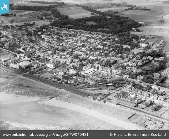
SPW040481 SCOTLAND (1932). Carnoustie, general view, showing High Street and Carnoustie House Grounds. An oblique aerial photograph taken facing north-west.
© Copyright OpenStreetMap contributors and licensed by the OpenStreetMap Foundation. 2026. Cartography is licensed as CC BY-SA.
Nearby Images (9)
SPW040481

SPW019956

SPW040482

SPW019960

SAW032105

SAW032106

SAW032107

SAW032108

SAW032109

Details
| Title | [SPW040481] Carnoustie, general view, showing High Street and Carnoustie House Grounds. An oblique aerial photograph taken facing north-west. |
| Reference | SPW040481 |
| Date | 1932 |
| Link | NRHE Collection item 1257517 |
| Place name | |
| Parish | BARRY |
| District | ANGUS |
| Country | SCOTLAND |
| Easting / Northing | 356420, 734600 |
| Longitude / Latitude | -2.7080294932982, 56.501560262144 |
| National Grid Reference | NO564346 |
Pins
Be the first to add a comment to this image!