
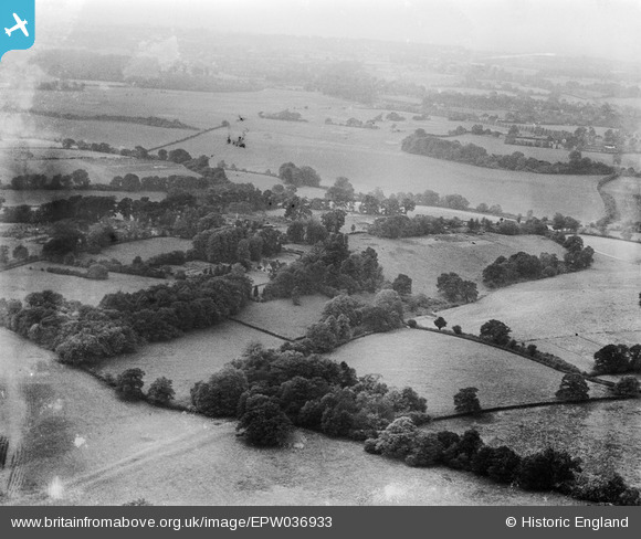
EPW036933 ENGLAND (1931). Countryside around Homefield Shaws, Mugswell, from the south-east, 1931
© Copyright OpenStreetMap contributors and licensed by the OpenStreetMap Foundation. 2025. Cartography is licensed as CC BY-SA.
Nearby Images (9)
EPW036933

EAW010550

EAW010553

EAW010551

EAW008781

EAW008777

EAW008776

EAW008785

EAW008783

Details
| Title | [EPW036933] Countryside around Homefield Shaws, Mugswell, from the south-east, 1931 |
| Reference | EPW036933 |
| Date | October-1931 |
| Link | |
| Place name | MUGSWELL |
| Parish | |
| District | |
| Country | ENGLAND |
| Easting / Northing | 526756, 154507 |
| Longitude / Latitude | -0.18257004989314, 51.275082764544 |
| National Grid Reference | TQ268545 |
Pins
Be the first to add a comment to this image!