
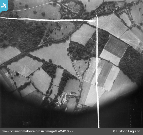
EAW010553 ENGLAND (1947). Colts Bushes, Fair Lane and environs, Chipstead, 1947. This image was marked by Aerofilms Ltd for photo editing.
© Copyright OpenStreetMap contributors and licensed by the OpenStreetMap Foundation. 2025. Cartography is licensed as CC BY-SA.
Nearby Images (4)
EAW010553

EAW010550

EAW010552

EPW036933

Details
| Title | [EAW010553] Colts Bushes, Fair Lane and environs, Chipstead, 1947. This image was marked by Aerofilms Ltd for photo editing. |
| Reference | EAW010553 |
| Date | 3-September-1947 |
| Link | |
| Place name | CHIPSTEAD |
| Parish | |
| District | |
| Country | ENGLAND |
| Easting / Northing | 526614, 154427 |
| Longitude / Latitude | -0.18463329878588, 51.274395275976 |
| National Grid Reference | TQ266544 |
Pins
Be the first to add a comment to this image!