
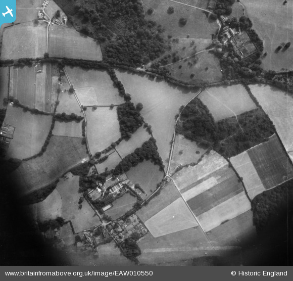
EAW010550 ENGLAND (1947). High Road, Rectory Lane and Fair Lane, Chipstead, 1947. This image was marked by Aerofilms Ltd for photo editing.
© Copyright OpenStreetMap contributors and licensed by the OpenStreetMap Foundation. 2025. Cartography is licensed as CC BY-SA.
Nearby Images (10)
EAW010550

EPW036933

EAW010553

EAW010552

EAW008781

EAW008777

EAW008776

EAW008785

EAW008784

EAW008783

Details
| Title | [EAW010550] High Road, Rectory Lane and Fair Lane, Chipstead, 1947. This image was marked by Aerofilms Ltd for photo editing. |
| Reference | EAW010550 |
| Date | 3-September-1947 |
| Link | |
| Place name | CHIPSTEAD |
| Parish | |
| District | |
| Country | ENGLAND |
| Easting / Northing | 526675, 154508 |
| Longitude / Latitude | -0.18373044856848, 51.275109770151 |
| National Grid Reference | TQ267545 |
Pins
Be the first to add a comment to this image!