
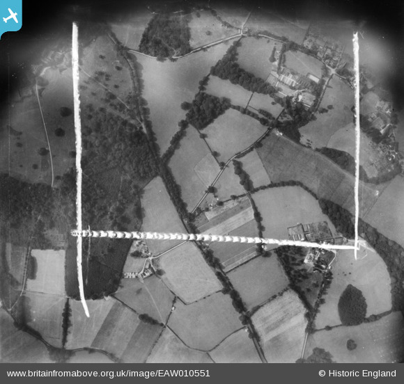
EAW010551 ENGLAND (1947). Upper Gatton Wood, High Road, Reeves Rest and Southerns Farm, Chipstead, 1947. This image was marked by Aerofilms Ltd for photo editing.
© Copyright OpenStreetMap contributors and licensed by the OpenStreetMap Foundation. 2025. Cartography is licensed as CC BY-SA.
Nearby Images (4)
EAW010551

EPW036931

EPW036933

EPW036941

Details
| Title | [EAW010551] Upper Gatton Wood, High Road, Reeves Rest and Southerns Farm, Chipstead, 1947. This image was marked by Aerofilms Ltd for photo editing. |
| Reference | EAW010551 |
| Date | 3-September-1947 |
| Link | |
| Place name | CHIPSTEAD |
| Parish | |
| District | |
| Country | ENGLAND |
| Easting / Northing | 526959, 154687 |
| Longitude / Latitude | -0.17959704755166, 51.276655455159 |
| National Grid Reference | TQ270547 |
Pins
Be the first to add a comment to this image!