
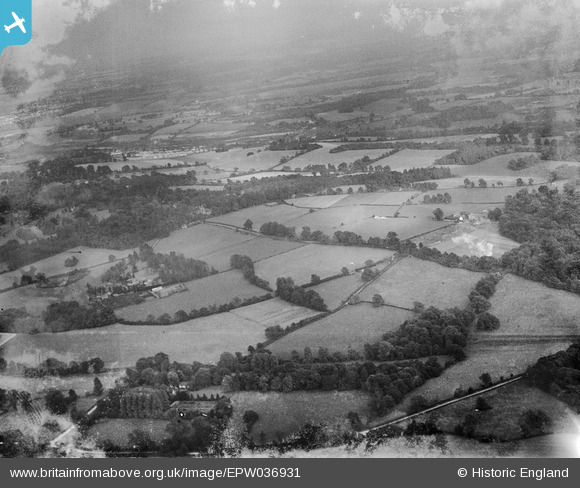
EPW036931 ENGLAND (1931). Countryside around High Road, Tickners Wood and Ten Acre Wood, Mugswell, from the west, 1931
© Copyright OpenStreetMap contributors and licensed by the OpenStreetMap Foundation. 2025. Cartography is licensed as CC BY-SA.
Nearby Images (10)
EPW036931

EAW010551

EAW008780

EAW008778

EAW008779

EAW008777

EAW008781

EAW008785

EAW008776

EAW008784

Details
| Title | [EPW036931] Countryside around High Road, Tickners Wood and Ten Acre Wood, Mugswell, from the west, 1931 |
| Reference | EPW036931 |
| Date | October-1931 |
| Link | |
| Place name | MUGSWELL |
| Parish | |
| District | |
| Country | ENGLAND |
| Easting / Northing | 526773, 154759 |
| Longitude / Latitude | -0.18223702117206, 51.277344038658 |
| National Grid Reference | TQ268548 |
Pins
Be the first to add a comment to this image!