
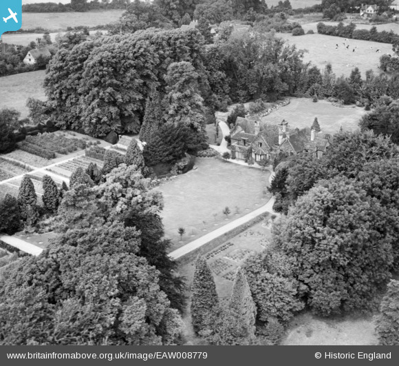
EAW008779 ENGLAND (1947). The Old Rectory, Mugswell, 1947
© Copyright OpenStreetMap contributors and licensed by the OpenStreetMap Foundation. 2025. Cartography is licensed as CC BY-SA.
Nearby Images (11)
EAW008779

EAW008777

EAW008781

EAW008785

EAW008784

EAW008776

EAW008783

EAW008778

EAW008782

EAW008780

EPW036931

Details
| Title | [EAW008779] The Old Rectory, Mugswell, 1947 |
| Reference | EAW008779 |
| Date | 9-August-1947 |
| Link | |
| Place name | MUGSWELL |
| Parish | |
| District | |
| Country | ENGLAND |
| Easting / Northing | 526543, 154759 |
| Longitude / Latitude | -0.18553315137299, 51.277395179757 |
| National Grid Reference | TQ265548 |
Pins
Be the first to add a comment to this image!