
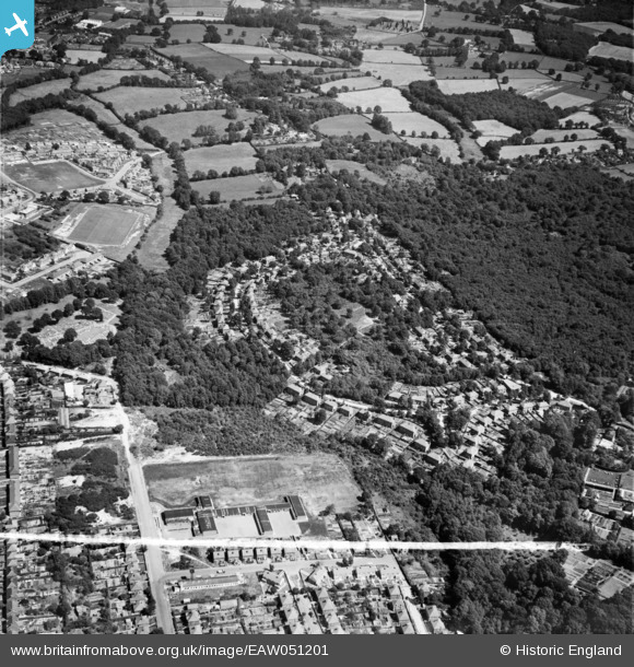
EAW051201 ENGLAND (1953). Franklands Village, Haywards Heath, 1953. This image was marked by Aerofilms Ltd for photo editing.
© Copyright OpenStreetMap contributors and licensed by the OpenStreetMap Foundation. 2025. Cartography is licensed as CC BY-SA.
Nearby Images (6)
EAW051201

EAW051202

EAW051205

EAW051206

EAW051204

EAW051203

Details
| Title | [EAW051201] Franklands Village, Haywards Heath, 1953. This image was marked by Aerofilms Ltd for photo editing. |
| Reference | EAW051201 |
| Date | 10-August-1953 |
| Link | |
| Place name | HAYWARDS HEATH |
| Parish | HAYWARDS HEATH |
| District | |
| Country | ENGLAND |
| Easting / Northing | 534297, 123630 |
| Longitude / Latitude | -0.086022760854221, 50.995832007114 |
| National Grid Reference | TQ343236 |
Pins

Jill Harwood |
Wednesday 31st of July 2019 12:37:44 PM | |
|
Jill Harwood |
Wednesday 31st of July 2019 12:35:39 PM | |
|
Jill Harwood |
Wednesday 31st of July 2019 12:31:45 PM | |
|
Jill Harwood |
Wednesday 31st of July 2019 12:31:07 PM | |
|
Jill Harwood |
Wednesday 31st of July 2019 12:29:41 PM | |
|
Jill Harwood |
Wednesday 31st of July 2019 12:28:50 PM |