
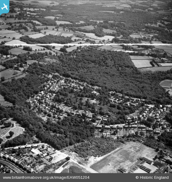
EAW051204 ENGLAND (1953). Franklands Village, Haywards Heath, 1953. This image was marked by Aerofilms Ltd for photo editing.
© Copyright OpenStreetMap contributors and licensed by the OpenStreetMap Foundation. 2025. Cartography is licensed as CC BY-SA.
Nearby Images (5)
EAW051204

EAW051203

EAW051205

EAW051202

EAW051201

Details
| Title | [EAW051204] Franklands Village, Haywards Heath, 1953. This image was marked by Aerofilms Ltd for photo editing. |
| Reference | EAW051204 |
| Date | 10-August-1953 |
| Link | |
| Place name | HAYWARDS HEATH |
| Parish | HAYWARDS HEATH |
| District | |
| Country | ENGLAND |
| Easting / Northing | 534487, 123678 |
| Longitude / Latitude | -0.083298754452098, 50.996219062733 |
| National Grid Reference | TQ345237 |
Pins
Be the first to add a comment to this image!