
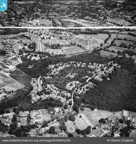
EAW051205 ENGLAND (1953). Franklands Village, Haywards Heath, 1953. This image was marked by Aerofilms Ltd for photo editing.
© Copyright OpenStreetMap contributors and licensed by the OpenStreetMap Foundation. 2025. Cartography is licensed as CC BY-SA.
Nearby Images (6)
EAW051205

EAW051202

EAW051201

EAW051206

EAW051204

EAW051203

Details
| Title | [EAW051205] Franklands Village, Haywards Heath, 1953. This image was marked by Aerofilms Ltd for photo editing. |
| Reference | EAW051205 |
| Date | 10-August-1953 |
| Link | |
| Place name | HAYWARDS HEATH |
| Parish | HAYWARDS HEATH |
| District | |
| Country | ENGLAND |
| Easting / Northing | 534326, 123725 |
| Longitude / Latitude | -0.08557455743709, 50.996679121825 |
| National Grid Reference | TQ343237 |
Pins

M Anton |
Tuesday 26th of June 2018 06:14:18 PM | |
|
M Anton |
Tuesday 26th of June 2018 06:12:50 PM | |
|
M Anton |
Tuesday 26th of June 2018 06:10:43 PM | |
|
M Anton |
Tuesday 26th of June 2018 06:09:28 PM |