
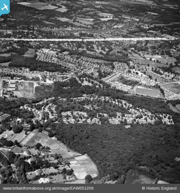
EAW051206 ENGLAND (1953). Franklands Village and environs, Haywards Heath, 1953. This image was marked by Aerofilms Ltd for photo editing.
© Copyright OpenStreetMap contributors and licensed by the OpenStreetMap Foundation. 2025. Cartography is licensed as CC BY-SA.
Nearby Images (4)
EAW051206

EAW051205

EAW051202

EAW051201

Details
| Title | [EAW051206] Franklands Village and environs, Haywards Heath, 1953. This image was marked by Aerofilms Ltd for photo editing. |
| Reference | EAW051206 |
| Date | 10-August-1953 |
| Link | |
| Place name | HAYWARDS HEATH |
| Parish | HAYWARDS HEATH |
| District | |
| Country | ENGLAND |
| Easting / Northing | 534179, 123767 |
| Longitude / Latitude | -0.087652842220102, 50.997090930762 |
| National Grid Reference | TQ342238 |
Pins

M Anton |
Tuesday 26th of June 2018 06:05:37 PM | |
|
M Anton |
Tuesday 26th of June 2018 06:04:50 PM | |
|
M Anton |
Tuesday 26th of June 2018 06:03:16 PM | |
|
M Anton |
Tuesday 26th of June 2018 06:02:35 PM | |
|
M Anton |
Tuesday 26th of June 2018 06:01:06 PM | |
|
M Anton |
Tuesday 26th of June 2018 05:59:37 PM |