
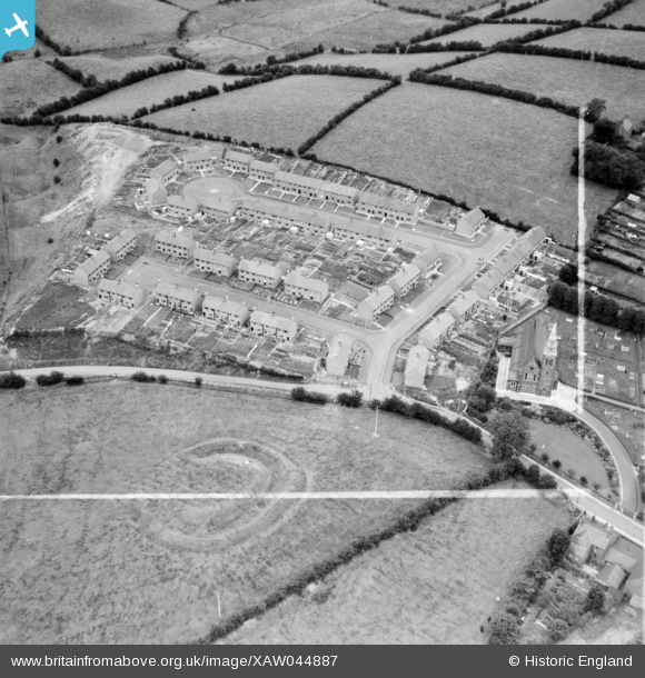
XAW044887 NORTHERN IRELAND (1952). John Graham, Lagan Steam Saw Mills, Dromore, Banbridge, Northern Ireland, 1952. Oblique aerial photograph taken facing North/East. This image was marked by Aerofilms Ltd for photo editing.
© Copyright OpenStreetMap contributors and licensed by the OpenStreetMap Foundation. 2026. Cartography is licensed as CC BY-SA.
Nearby Images (19)
XAW044887

XAW044888

XAW051877

XAW044890

XAW044883

XAW044889

XAW044886

XAW044891

XAW051876

XAW044885

XAW051873

XAW051878

XAW044892

XAW044884

XAW051875

XAW051879

XAW051872

XAW051874

XAW044927

Details
| Title | [XAW044887] John Graham, Lagan Steam Saw Mills, Dromore, Banbridge, Northern Ireland, 1952. Oblique aerial photograph taken facing North/East. This image was marked by Aerofilms Ltd for photo editing. |
| Reference | XAW044887 |
| Date | 1952 |
| Link | |
| Place name | DROMORE |
| Parish | NORTHERN IRELAND |
| District | |
| Country | NORTHERN IRELAND |
| Easting / Northing | 130983, 510429 |
| Longitude / Latitude | -6.148209, 54.417945 |
| National Grid Reference |
Pins
Be the first to add a comment to this image!