
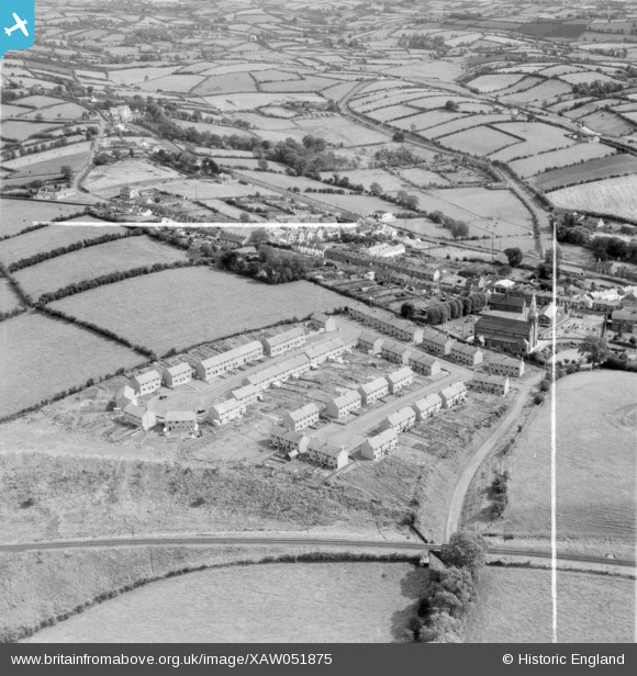
XAW051875 NORTHERN IRELAND (1953). J. Graham Esq., Lagan Stream Saw Mills, Housing Site Dromore, Co. Down, Dromore, Banbridge, Northern Ireland, 1953. Oblique aerial photograph taken facing East. This image was marked by Aerofilms Ltd for photo editing.
© Copyright OpenStreetMap contributors and licensed by the OpenStreetMap Foundation. 2026. Cartography is licensed as CC BY-SA.
Nearby Images (17)
XAW051875

XAW044892

XAW051872

XAW044885

XAW044891

XAW044886

XAW044883

XAW044890

XAW051879

XAW044889

XAW051876

XAW044887

XAW051878

XAW051873

XAW044888

XAW051877

XAW051874

Details
| Title | [XAW051875] J. Graham Esq., Lagan Stream Saw Mills, Housing Site Dromore, Co. Down, Dromore, Banbridge, Northern Ireland, 1953. Oblique aerial photograph taken facing East. This image was marked by Aerofilms Ltd for photo editing. |
| Reference | XAW051875 |
| Date | 1953 |
| Link | |
| Place name | DROMORE |
| Parish | NORTHERN IRELAND |
| District | |
| Country | NORTHERN IRELAND |
| Easting / Northing | 130814, 510476 |
| Longitude / Latitude | -6.150845, 54.418274 |
| National Grid Reference |
Pins
Be the first to add a comment to this image!