
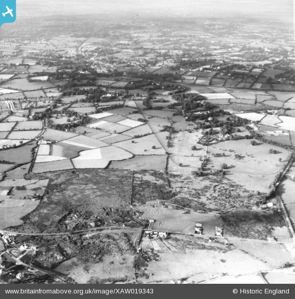
XAW019343 IRELAND (1948). Clonard House, Dundrum, Dublin, Ireland, 1948. Oblique aerial photograph taken facing West.
© Copyright OpenStreetMap contributors and licensed by the OpenStreetMap Foundation. 2026. Cartography is licensed as CC BY-SA.
Nearby Images (4)
XAW019343

XAW019338

XAW019337

XAW019339

Details
| Title | [XAW019343] Clonard House, Dundrum, Dublin, Ireland, 1948. Oblique aerial photograph taken facing West. |
| Reference | XAW019343 |
| Date | 21-September-1948 |
| Link | |
| Place name | DUNDRUM |
| Parish | IRELAND |
| District | |
| Country | IRELAND |
| Easting / Northing | 118263, 383758 |
| Longitude / Latitude | -6.227498, 53.275745 |
| National Grid Reference |
Pins

dave douglas |
Monday 28th of July 2025 10:46:47 PM | |
|
dave douglas |
Friday 24th of February 2023 02:08:15 PM | |
|
dave douglas |
Friday 24th of February 2023 02:07:18 PM | |
|
DavidG |
Friday 16th of July 2021 03:18:02 PM | |
|
DavidG |
Friday 16th of July 2021 03:17:33 PM | |
|
Windsor70 |
Monday 10th of November 2014 01:21:23 PM | |
|
Windsor70 |
Monday 10th of November 2014 01:19:58 PM | |
|
Windsor70 |
Monday 10th of November 2014 10:54:05 AM |