
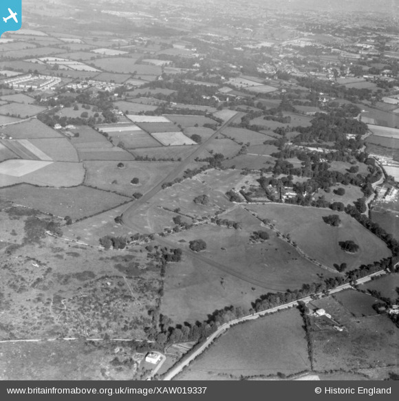
XAW019337 IRELAND (1948). Clonard House, Dundrum, Dublin, Ireland, 1948. Oblique aerial photograph taken facing East.
© Copyright OpenStreetMap contributors and licensed by the OpenStreetMap Foundation. 2026. Cartography is licensed as CC BY-SA.
Nearby Images (4)
XAW019337

XAW019343

XAW019338

XAW019339

Details
| Title | [XAW019337] Clonard House, Dundrum, Dublin, Ireland, 1948. Oblique aerial photograph taken facing East. |
| Reference | XAW019337 |
| Date | 21-September-1948 |
| Link | |
| Place name | DUNDRUM |
| Parish | IRELAND |
| District | |
| Country | IRELAND |
| Easting / Northing | 118291, 383766 |
| Longitude / Latitude | -6.227083, 53.275833 |
| National Grid Reference |
Pins

dave douglas |
Friday 24th of February 2023 03:17:34 PM | |
|
DavidG |
Friday 16th of July 2021 03:25:49 PM | |
|
DavidG |
Friday 16th of July 2021 03:25:06 PM | |
|
DavidG |
Friday 16th of July 2021 03:24:47 PM | |
|
DavidG |
Friday 16th of July 2021 03:23:34 PM | |
|
DavidG |
Friday 16th of July 2021 03:23:21 PM | |
|
DavidG |
Friday 16th of July 2021 03:21:44 PM | |
|
DavidG |
Friday 16th of July 2021 03:21:25 PM | |
|
DavidG |
Friday 16th of July 2021 03:21:12 PM | |
|
DavidG |
Friday 16th of July 2021 03:19:38 PM | |
|
Jms |
Tuesday 17th of April 2018 08:59:28 PM | |
|
Jms |
Tuesday 17th of April 2018 08:58:11 PM | |
|
Jms |
Tuesday 17th of April 2018 08:56:53 PM |