
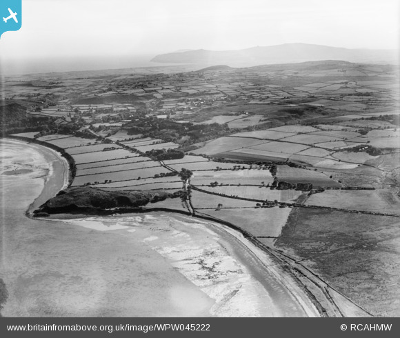
WPW045222 WALES (1934). View of landscape (Penrhos and Carreg y Defaid) near Pwllheli, oblique aerial view. 5"x4" black and white glass plate negative.
© Copyright OpenStreetMap contributors and licensed by the OpenStreetMap Foundation. 2026. Cartography is licensed as CC BY-SA.
Nearby Images (13)
WAW029293

WAW029294

WAW029295

WAW029296

WPW045215

WPW045216

WPW045217

WPW045218

WPW045219

WPW045220
 near Pwllheli, oblique aerial view. 5\"x4\" black and white glass plate negative.")
WPW045221
 near Pwllheli, oblique aerial view. 5\"x4\" black and white glass plate negative.")
WPW045222
 near Pwllheli, oblique aerial view. 5\"x4\" black and white glass plate negative.")
WPW045223
 near Pwllheli, oblique aerial view. 5\"x4\" black and white glass plate negative.")
Details
| Title | [WPW045222] View of landscape (Penrhos and Carreg y Defaid) near Pwllheli, oblique aerial view. 5"x4" black and white glass plate negative. |
| Reference | WPW045222 |
| Date | 1934 |
| Link | Coflein Archive Item 6369899 |
| Place name | |
| Parish | |
| District | |
| Country | WALES |
| Easting / Northing | 237425, 335193 |
| Longitude / Latitude | -4.416750686082, 52.889254290467 |
| National Grid Reference | SH374352 |
Pins

Ian Warburton |
Thursday 22nd of January 2015 05:07:01 PM | |
|
Ian Warburton |
Wednesday 31st of December 2014 05:56:00 PM | |
|
Ian Warburton |
Wednesday 31st of December 2014 05:54:32 PM | |
|
Ian Warburton |
Wednesday 31st of December 2014 05:54:03 PM | |
|
Ian Warburton |
Wednesday 31st of December 2014 05:53:20 PM | |
|
Ian Warburton |
Wednesday 31st of December 2014 05:52:28 PM |